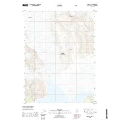
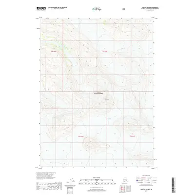
2017 Map of Yakutat C-3 SE
USGS Topo · Published 2017About this map
Yakutat Glacier and the expansive waters of Harlequin Lake dominate this glacial landscape within the Tongass National Forest. This 2017 survey documents a dynamic environment where the glacier terminates into the lake, illustrating the hydrological and geological processes active in this corner of Alaska. The map provides a detailed view of the surrounding terrain, organized by the Public Land Survey System into townships including t27s r38e and t28s r39e. Unlike settled areas with developed infrastructure, this territory is defined by its natural features and federal land management boundaries, making it an essential reference for understanding the modern state of Alaska's coastal forests and ice fields.
Find a feature on this map
9 named features on this map. Tap any name to fly to it.
Don’t see what you’re looking for? This feature index may not catch every label — zoom into the map to look around manually.
Map Details
Editions of this 2017 Yakutat C-3 SE Map
This is the sole edition of this map. No revisions or reprints were ever made.
Other maps of this area

1951 · Yakutat
USGS Topo · 1:250,000

1959 · Yakutat C-3
USGS Topo · 1:63,360

1959 · Yakutat B-3
USGS Topo · 1:63,360

1959 · Yakutat B-2
USGS Topo · 1:63,360

1959 · Yakutat
USGS Topo · 1:250,000

1985 · Yakutat C-2
USGS Topo · 1:63,360
2017 · Yakutat C-3 SW
USGS Topo · 1:25,000
2017 · Yakutat C-2 SW
USGS Topo · 1:25,000
2017 · Yakutat C-2 NW
USGS Topo · 1:25,000
2017 · Yakutat B-2 NW
USGS Topo · 1:25,000