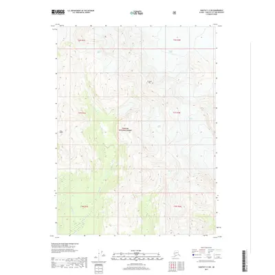
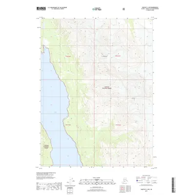
2017 Map of Yakutat C-3 SW
USGS Topo · Published 2017About this map
Fourth Glacier and the massive Yakutat Glacier dominate this glacial landscape within the Tongass National Forest. The map documents a dynamic environment where ice and meltwater shape the terrain, visible in the drainage patterns of Moser Cr and Miller Cr as they flow from their respective ice fields. To the south, the Akwe River winds through the lower elevations, collecting runoff from the high peaks. Notable topographic landmarks such as Crescent Mtn and Slate Peak provide vertical relief against the expansive ice flows of Moser Glacier and Miller Glacier. This survey captures the complex intersection of alpine peaks and massive river-like glaciers in a wilderness area defined by its hydrology and high-latitude geomorphology.
Find a feature on this map
16 named features on this map. Tap any name to fly to it.
Don’t see what you’re looking for? This feature index may not catch every label — zoom into the map to look around manually.
Map Details
Editions of this 2017 Yakutat C-3 SW Map
This is the sole edition of this map. No revisions or reprints were ever made.
Other maps of this area

1951 · Yakutat
USGS Topo · 1:250,000

1959 · Yakutat C-3
USGS Topo · 1:63,360

1959 · Yakutat C-4
USGS Topo · 1:63,360

1959 · Yakutat B-3
USGS Topo · 1:63,360

1959 · Yakutat B-4
USGS Topo · 1:63,360

1959 · Yakutat
USGS Topo · 1:250,000
1987 · Yakutat C-4 SE
USGS Topo · 1:25,000
1997 · Yakutat C-4
USGS Topo · 1:63,360
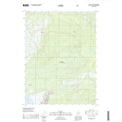
2017 · Yakutat B-4 NE
USGS Topo · 1:25,000
2017 · Yakutat C-4 NE
USGS Topo · 1:25,000