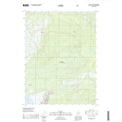
2017 Map of Yakutat B-4 NE
USGS Topo · Published 2017About this map
Tongass National Forest dominates this landscape of the Alaska Panhandle, characterized by the complex drainage patterns of the Ahrnklin River and the Dangerous River. The terrain is a labyrinth of wetlands and watercourses, reflecting the dynamic glacial and fluvial environment near Yakutat. A single primary transportation route, the Yak-Road To Dangerous River, cuts diagonally across the northern portion of the map, providing rare overland access through the dense coastal forest and marshlands. This 2017 survey illustrates the intricate braided nature of the river systems as they move toward the Gulf of Alaska, showing how the shifting waters of the Dangerous River carve through the protected lands of the Tnf.
Find a feature on this map
9 named features on this map. Tap any name to fly to it.
Don’t see what you’re looking for? This feature index may not catch every label — zoom into the map to look around manually.
Map Details
Editions of this 2017 Yakutat B-4 NE Map
This is the sole edition of this map. No revisions or reprints were ever made.
Other maps of this area

1951 · Yakutat
USGS Topo · 1:250,000

1959 · Yakutat C-3
USGS Topo · 1:63,360

1959 · Yakutat C-4
USGS Topo · 1:63,360

1959 · Yakutat B-3
USGS Topo · 1:63,360

1959 · Yakutat B-4
USGS Topo · 1:63,360

1959 · Yakutat
USGS Topo · 1:250,000

1987 · Yakutat C-4 SW
USGS Topo · 1:25,000
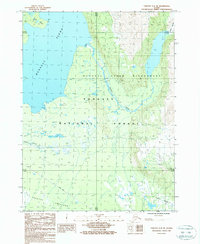
1987 · Yakutat C-4 SE
USGS Topo · 1:25,000
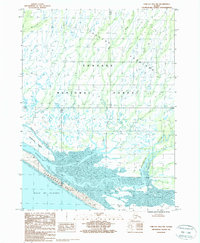
1987 · Yakutat B-4 NW
USGS Topo · 1:25,000
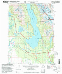
1997 · Yakutat C-4
USGS Topo · 1:63,360