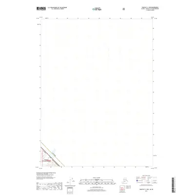
2017 Map of Yakutat C-1 NW
USGS Topo · Published 2017About this map
The international boundary between Alaska USA and Canada cuts across the southwestern corner of this 2017 survey, defining a remote frontier landscape where the Yakutat Borough meets British Columbia. A small portion of the Tongass National Forest is visible within the American territory, specifically localized in the area designated as t26s r42e. The map represents a high-latitude wilderness area where the primary human interest lies in the precision of the national borders and the management of large-scale federal forest lands. This edition reflects modern geospatial data for a region where formal settlements and road networks are entirely absent from the mapped terrain.
Find a feature on this map
5 named features on this map. Tap any name to fly to it.
Don’t see what you’re looking for? This feature index may not catch every label — zoom into the map to look around manually.
Map Details
Editions of this 2017 Yakutat C-1 NW Map
This is the sole edition of this map. No revisions or reprints were ever made.
Other maps of this area

1951 · Yakutat
USGS Topo · 1:250,000

1959 · Yakutat
USGS Topo · 1:250,000
1985 · Yakutat C-1
USGS Topo · 1:63,360

1985 · Yakutat C-2
USGS Topo · 1:63,360
1985 · Yakutat D-2
USGS Topo · 1:63,360
2017 · Yakutat C-2 NE
USGS Topo · 1:25,000
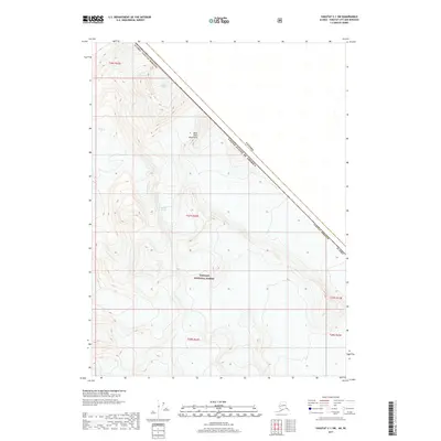
2017 · Yakutat C-1 SW
USGS Topo · 1:25,000
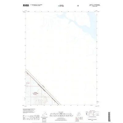
2017 · Yakutat C-1 SE
USGS Topo · 1:25,000
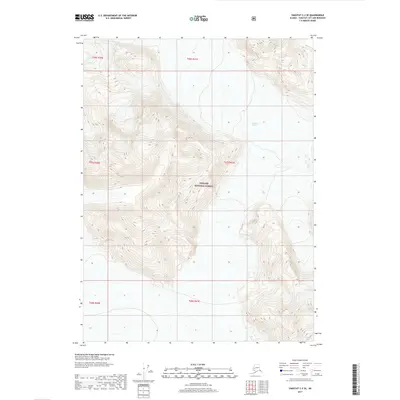
2017 · Yakutat C-2 SE
USGS Topo · 1:25,000
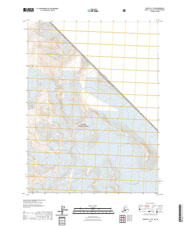
2021 · Yakutat C-1 SW
USGS Topo · 1:25,000