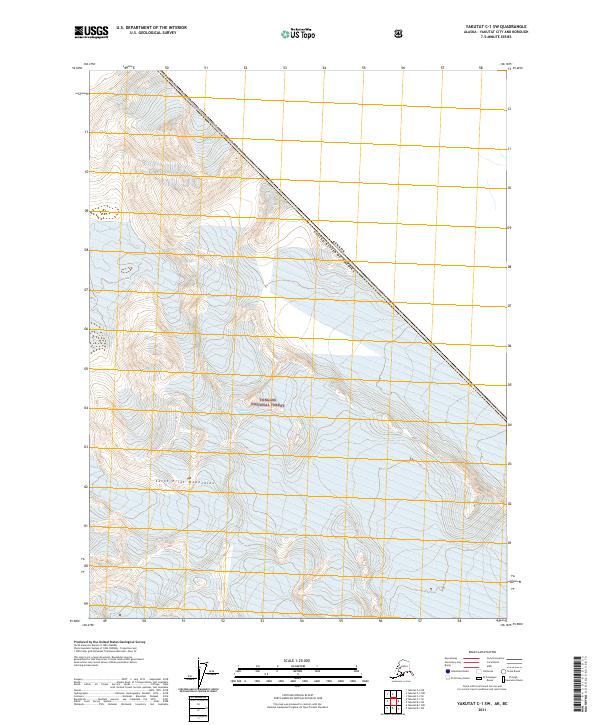
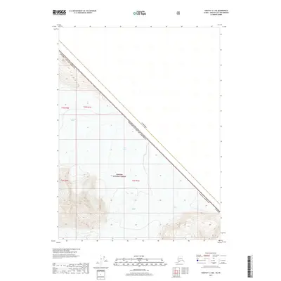
2021 Map of Yakutat C-1 SW
USGS Topo · Published 2021About this map
Saint Elias Mountains terrain dominates this high-latitude survey, where the glacial landscape of the Tongass National Forest meets the international boundary between Canada and the United States of America. The map documents a powerful ice-carved environment, most notably the massive flow of Battle Glacier and the expansive Novatak Glacier. These frozen features are the primary architects of the topography, illustrating the dynamic natural forces that continue to shape the remote Alaskan wilderness near the border of British Columbia. This 2021 edition provides a contemporary record of ice extent and mountain drainage in a region where the natural environment is the defining characteristic of the landscape.
Find a feature on this map
11 named features on this map. Tap any name to fly to it.
Don’t see what you’re looking for? This feature index may not catch every label — zoom into the map to look around manually.
Map Details
Editions of this 2021 Yakutat C-1 SW Map
This is the sole edition of this map. No revisions or reprints were ever made.
Other maps of this area

1951 · Yakutat
USGS Topo · 1:250,000

1959 · Yakutat B-2
USGS Topo · 1:63,360

1959 · Yakutat B-1
USGS Topo · 1:63,360

1959 · Yakutat
USGS Topo · 1:250,000
1985 · Yakutat C-1
USGS Topo · 1:63,360

1985 · Yakutat C-2
USGS Topo · 1:63,360

1997 · Yakutat B-1
USGS Topo · 1:63,360
2017 · Yakutat B-2 NE
USGS Topo · 1:25,000
2017 · Yakutat C-1 NW
USGS Topo · 1:25,000
2017 · Yakutat C-2 NE
USGS Topo · 1:25,000