
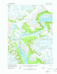
1959 Map of Yakutat B-1
USGS Topo · Published 1963About this map
The Alsek River dominates this mid-century survey as it carves through the southeast Alaskan wilderness along the international border. Flowing through a massive braided channel system, the river is flanked by the massive Novatak Glacier to the west and the heights of the Brabazon Range to the south. Much of the southern terrain falls within the Tongass National Forest, illustrating the protected status of this glacial landscape shortly after Alaska achieved statehood. Significant portions of the northeast corner mark the Canada United States boundary, including an Indefinite Boundary section that reflects the surveying challenges of this ice-heavy region. Landmarks such as Flower and Club provide specific points of reference in a territory defined by shifting ice and water.
Find a feature on this map
10 named features on this map. Tap any name to fly to it.
Don’t see what you’re looking for? This feature index may not catch every label — zoom into the map to look around manually.
Map Details
Editions of this 1959 Yakutat B-1 Map
2 editions found
Other maps of this area

1951 · Yakutat
USGS Topo · 1:250,000

1952 · Skagway
USGS Topo · 1:250,000

1959 · Yakutat A-1
USGS Topo · 1:63,360

1959 · Yakutat A-2
USGS Topo · 1:63,360

1959 · Yakutat B-2
USGS Topo · 1:63,360

1959 · Yakutat
USGS Topo · 1:250,000
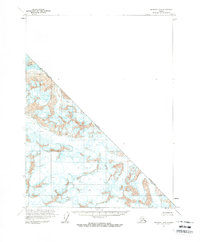
1961 · Skagway B-8
USGS Topo · 1:63,360

1961 · Skagway A-8
USGS Topo · 1:63,360

1961 · Skagway
USGS Topo · 1:250,000
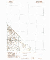
1985 · Yakutat C-1
USGS Topo · 1:63,360