
1959 Map of Yakutat A-2
USGS Topo · Published 1963About this map
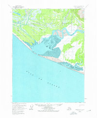
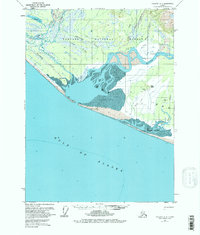
The Alsek River delta dominates this coastal landscape where the river meets the Gulf of Alaska. During this mid-century period, the area exhibits a transition from early industrial activity to a more seasonal or temporary presence, as seen by the Cannery (Aband) located along Muddy Creek. The coastline is marked by a complex system of shifting sands and water, including the large Dry Bay and its extensive Tidal Flat areas. Transportation in this remote corner of the Tongass National Forest relies on informal routes such as a Tractor Trail and an Old RR Grade, alongside a Landing Strip for air access. Scattered Cabins suggest a landscape used for subsistence or seasonal work, while various named waterways like Williams Creek and Gines Creek feed into the braided river system.
Find a feature on this map
20 named features on this map. Tap any name to fly to it.
Don’t see what you’re looking for? This feature index may not catch every label — zoom into the map to look around manually.
Map Details
Editions of this 1959 Yakutat A-2 Map
3 editions found
Other maps of this area

1951 · Yakutat
USGS Topo · 1:250,000

1951 · Mt Fairweather
USGS Topo · 1:250,000

1959 · Yakutat A-1
USGS Topo · 1:63,360
1959 · Yakutat A-3
USGS Topo · 1:63,360

1959 · Yakutat B-3
USGS Topo · 1:63,360

1959 · Yakutat B-2
USGS Topo · 1:63,360

1959 · Yakutat B-1
USGS Topo · 1:63,360

1959 · Yakutat
USGS Topo · 1:250,000

1961 · Mt Fairweather
USGS Topo · 1:250,000

1997 · Yakutat B-1
USGS Topo · 1:63,360