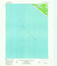
1959 Map of Yakutat A-3
USGS Topo · Published 1963About this map
The Gulf of Alaska coastline dominates this 1959-annotated survey, where the terrestrial landscape is defined by the shifting interface of water and land. The Akwe River and Ustay River wind through the southeastern corner of the map, carving through a broad Tidal Flat before reaching the sea. This area is situated within the Tongass National Forest, illustrating a mid-century coastal environment where infrastructure was minimal and the economy relied on small-scale access and natural resources.
Find a feature on this map
7 named features on this map. Tap any name to fly to it.
Don’t see what you’re looking for? This feature index may not catch every label — zoom into the map to look around manually.
Map Details
Editions of this 1959 Yakutat A-3 Map
3 editions found
Other maps of this area

1951 · Yakutat
USGS Topo · 1:250,000

1959 · Yakutat A-2
USGS Topo · 1:63,360

1959 · Yakutat B-3
USGS Topo · 1:63,360

1959 · Yakutat B-2
USGS Topo · 1:63,360

1959 · Yakutat B-4
USGS Topo · 1:63,360

1959 · Yakutat
USGS Topo · 1:250,000
2017 · Yakutat B-4 SE
USGS Topo · 1:25,000
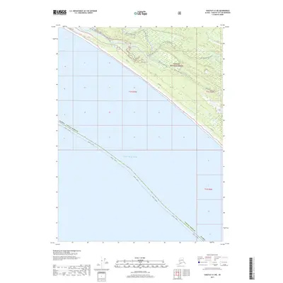
2017 · Yakutat A-3 NE
USGS Topo · 1:25,000
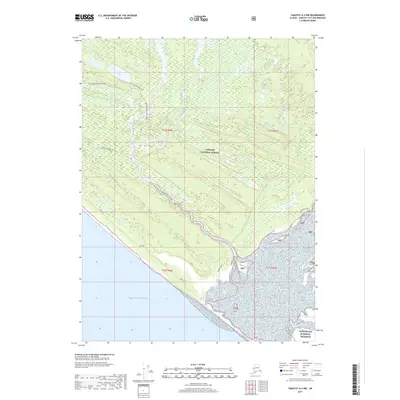
2017 · Yakutat A-2 NW
USGS Topo · 1:25,000
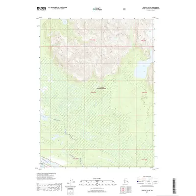
2017 · Yakutat B-3 SE
USGS Topo · 1:25,000