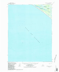
1959 Map of Yakutat A-3
USGS Topo · Published 1987About this map
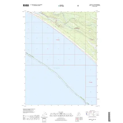
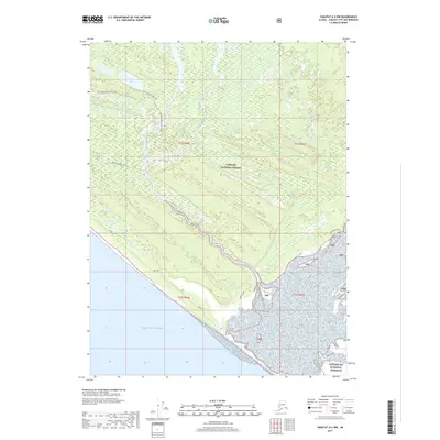
The Akwe River and Ustay River converge as they approach the narrow shoreline of the Gulf of Alaska in this late 1950s survey. This remote coastal stretch within the Tongass National Forest is defined by shifting hydrology, where the rivers meander through a broad Tidal Flat before reaching the sea. A solitary Winter Trail parallels the coastline, indicating the seasonal transport routes used in this part of Alaska during the mid-twentieth century. The map provides a detailed look at the bathymetry and topography of a landscape where the coastal forest meets the North Pacific, highlighting the sparse human footprint in an environment dominated by glacial drainage systems and tidal influences.
Find a feature on this map
6 named features on this map. Tap any name to fly to it.
Don’t see what you’re looking for? This feature index may not catch every label — zoom into the map to look around manually.
Map Details
Editions of this 1959 Yakutat A-3 Map
3 editions found
Other maps of this area

1951 · Yakutat
USGS Topo · 1:250,000

1959 · Yakutat A-2
USGS Topo · 1:63,360
1959 · Yakutat A-3
USGS Topo · 1:63,360

1959 · Yakutat B-3
USGS Topo · 1:63,360

1959 · Yakutat B-2
USGS Topo · 1:63,360

1959 · Yakutat B-4
USGS Topo · 1:63,360

1959 · Yakutat
USGS Topo · 1:250,000
2017 · Yakutat B-4 SE
USGS Topo · 1:25,000
2017 · Yakutat A-3 NE
USGS Topo · 1:25,000
2017 · Yakutat A-2 NW
USGS Topo · 1:25,000