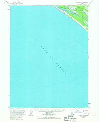
1959 Map of Yakutat A-3
USGS Topo · Published 1967About this map
Gulf of Alaska waters dominate this coastal survey, where the shoreline is defined by dynamic river systems and expansive maritime terrain. The Akwe River and Ustay River weave through a landscape of marsh and forest, protected within the Tongass National Forest. Inland access during this era was facilitated by a solitary Tractor Trail that parallels the coastline, indicating the difficulty of travel across the shifting Tidal Flat. Remote Cabins positioned near the river mouths suggest seasonal or specialized use of this rugged environment, likely for fishing or trapping. The hydrographic data, compiled from USC&GS charts, highlights the complex transition from the deep gulf to the shallow, silted estuaries of the Alaskan panhandle.
Find a feature on this map
7 named features on this map. Tap any name to fly to it.
Don’t see what you’re looking for? This feature index may not catch every label — zoom into the map to look around manually.
Map Details
Editions of this 1959 Yakutat A-3 Map
3 editions found
Other maps of this area

1951 · Yakutat
USGS Topo · 1:250,000

1959 · Yakutat A-2
USGS Topo · 1:63,360
1959 · Yakutat A-3
USGS Topo · 1:63,360

1959 · Yakutat B-3
USGS Topo · 1:63,360

1959 · Yakutat B-2
USGS Topo · 1:63,360

1959 · Yakutat B-4
USGS Topo · 1:63,360

1959 · Yakutat
USGS Topo · 1:250,000
2017 · Yakutat B-4 SE
USGS Topo · 1:25,000
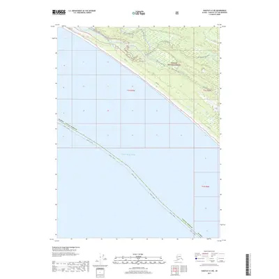
2017 · Yakutat A-3 NE
USGS Topo · 1:25,000
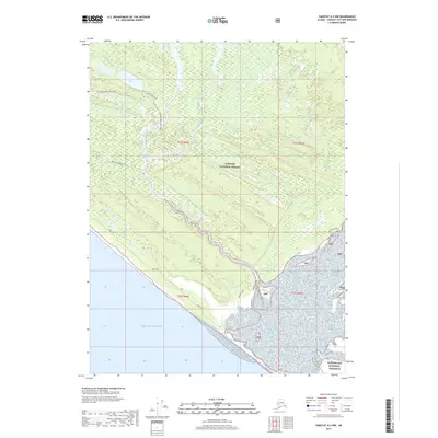
2017 · Yakutat A-2 NW
USGS Topo · 1:25,000