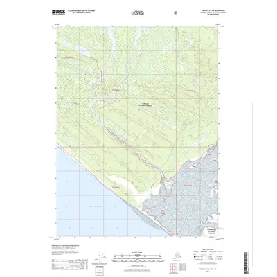
2017 Map of Yakutat A-2 NW
USGS Topo · Published 2017About this map
Tongass National Forest dominates this coastal Alaskan landscape, where the transition from inland waterways to the open sea is defined by intricate drainage systems and shifting landforms. The presence of the Dry Bay Canoe Trail and its associated Dry Bay Canoe Trail Spur highlights the importance of non-motorized navigation through the dense network of creeks like Williams Cr and Cannery Cr. These routes provide essential passage through the wetland-rich terrain north of the Gulf of Alaska.
Find a feature on this map
21 named features on this map. Tap any name to fly to it.
Don’t see what you’re looking for? This feature index may not catch every label — zoom into the map to look around manually.
Map Details
Editions of this 2017 Yakutat A-2 NW Map
This is the sole edition of this map. No revisions or reprints were ever made.
Other maps of this area

1951 · Yakutat
USGS Topo · 1:250,000

1959 · Yakutat A-2
USGS Topo · 1:63,360
1959 · Yakutat A-3
USGS Topo · 1:63,360

1959 · Yakutat B-3
USGS Topo · 1:63,360

1959 · Yakutat B-2
USGS Topo · 1:63,360

1959 · Yakutat
USGS Topo · 1:250,000
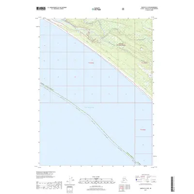
2017 · Yakutat A-3 NE
USGS Topo · 1:25,000
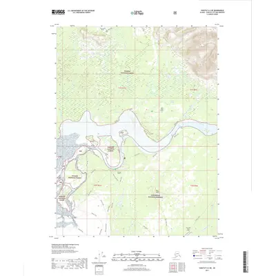
2017 · Yakutat A-2 NE
USGS Topo · 1:25,000
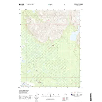
2017 · Yakutat B-3 SE
USGS Topo · 1:25,000
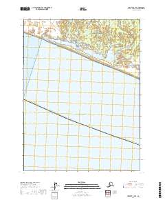
2017 · Yakutat A-2 SE
USGS Topo · 1:25,000