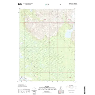
2017 Map of Yakutat B-3 SE
USGS Topo · Published 2017About this map
Tongass National Forest dominates this Alaskan coastal wilderness, where high glacial peaks meet the low-lying wetlands of the Pacific shore. The landscape is defined by the movement of water and ice, from the high Chamberlain Glacier in the northeast to the sprawling Akwe Lake and Akwe River system. The lowlands are marked by a complex network of waterways, including the Dry Bay Canoe Trail and its associated Dry Bay Canoe Trail Spur, which navigate the marshy terrain between Triangle Lake and the coast. The proximity to the Gulf of Alaska ensures a dynamic environment where freshwater lakes like Italio Lake are separated from the sea by only a narrow margin of coastal land. This 2017 survey documents a region where transportation is dictated by the natural corridors of rivers and established wilderness trails rather than roads.
Find a feature on this map
17 named features on this map. Tap any name to fly to it.
Don’t see what you’re looking for? This feature index may not catch every label — zoom into the map to look around manually.
Map Details
Editions of this 2017 Yakutat B-3 SE Map
This is the sole edition of this map. No revisions or reprints were ever made.
Other maps of this area

1951 · Yakutat
USGS Topo · 1:250,000

1959 · Yakutat A-2
USGS Topo · 1:63,360
1959 · Yakutat A-3
USGS Topo · 1:63,360

1959 · Yakutat B-3
USGS Topo · 1:63,360

1959 · Yakutat B-2
USGS Topo · 1:63,360

1959 · Yakutat
USGS Topo · 1:250,000
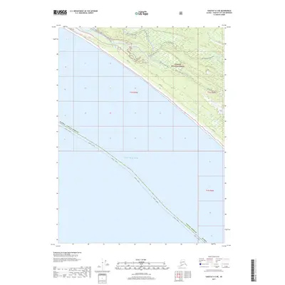
2017 · Yakutat A-3 NE
USGS Topo · 1:25,000
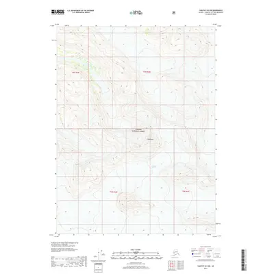
2017 · Yakutat B-2 NW
USGS Topo · 1:25,000
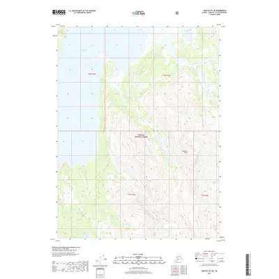
2017 · Yakutat B-3 NE
USGS Topo · 1:25,000
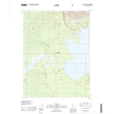
2017 · Yakutat B-3 NW
USGS Topo · 1:25,000