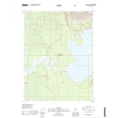
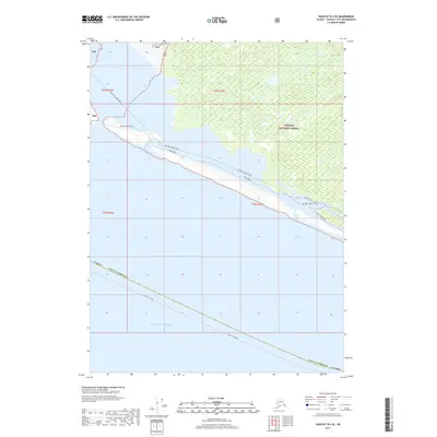
2017 Map of Yakutat B-3 NW
USGS Topo · Published 2017About this map
Harlequin Lake and the complex braided channels of the Dangerous River dominate this coastal Alaskan landscape within the Tongass National Forest. The geography is defined by a vast network of glacial outwash and wetlands, where the Antlen River and Ahrnklin River flow through the flat, low-lying plains. Human infrastructure is limited to the isolated Harlequin Lake Airport and a handful of rugged access routes. The Yak. Road to Dangerous River and the Vonderheide Trail provide the primary means of navigating this transition between the rising mountain slopes to the north and the shifting river deltas. Areas such as Middle Dangerous illustrate the dynamic nature of the regional hydrology, where sediment and water from the surrounding peaks constantly reshape the drainage patterns.
Find a feature on this map
16 named features on this map. Tap any name to fly to it.
Don’t see what you’re looking for? This feature index may not catch every label — zoom into the map to look around manually.
Map Details
Editions of this 2017 Yakutat B-3 NW Map
This is the sole edition of this map. No revisions or reprints were ever made.
Other maps of this area

1951 · Yakutat
USGS Topo · 1:250,000

1959 · Yakutat C-3
USGS Topo · 1:63,360

1959 · Yakutat C-4
USGS Topo · 1:63,360

1959 · Yakutat B-3
USGS Topo · 1:63,360

1959 · Yakutat B-4
USGS Topo · 1:63,360

1959 · Yakutat
USGS Topo · 1:250,000
1987 · Yakutat C-4 SE
USGS Topo · 1:25,000
1997 · Yakutat C-4
USGS Topo · 1:63,360
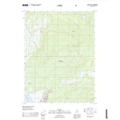
2017 · Yakutat B-4 NE
USGS Topo · 1:25,000
2017 · Yakutat B-4 SE
USGS Topo · 1:25,000