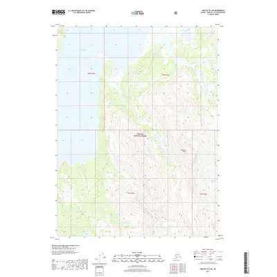
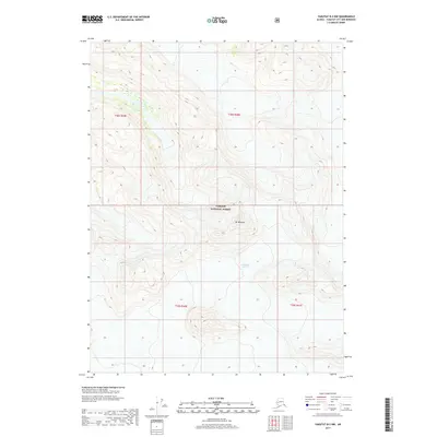
2017 Map of Yakutat B-3 NE
USGS Topo · Published 2017About this map
The Tongass National Forest dominates this Alaskan landscape, where the southern reaches of the Brabazon Range meet the glacial waters of the Gulf coast. In this 2017 survey, the massive ice of the Chamberlain Glacier is visible in the southeastern corner, feeding the hydrological network that defines the region's topography. The map illustrates a dynamic glacial environment, featuring the expansive Harlequin Lake in the north and the lower course of the Italio River as it passes through Italio Lake in the southwest. This area, largely devoid of permanent human settlements, showcases the pure interaction between high-altitude ice fields and the coastal drainage systems characteristic of the Yakutat City and Borough region.
Find a feature on this map
10 named features on this map. Tap any name to fly to it.
Don’t see what you’re looking for? This feature index may not catch every label — zoom into the map to look around manually.
Map Details
Editions of this 2017 Yakutat B-3 NE Map
This is the sole edition of this map. No revisions or reprints were ever made.
Other maps of this area

1951 · Yakutat
USGS Topo · 1:250,000

1959 · Yakutat C-3
USGS Topo · 1:63,360

1959 · Yakutat B-3
USGS Topo · 1:63,360

1959 · Yakutat B-2
USGS Topo · 1:63,360

1959 · Yakutat
USGS Topo · 1:250,000

1985 · Yakutat C-2
USGS Topo · 1:63,360
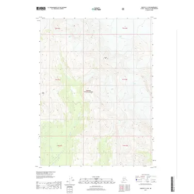
2017 · Yakutat C-3 SW
USGS Topo · 1:25,000
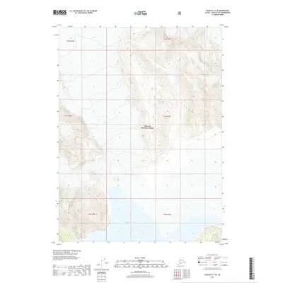
2017 · Yakutat C-3 SE
USGS Topo · 1:25,000
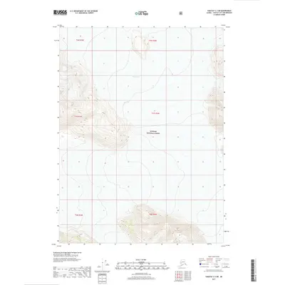
2017 · Yakutat C-2 SW
USGS Topo · 1:25,000
2017 · Yakutat B-2 NW
USGS Topo · 1:25,000