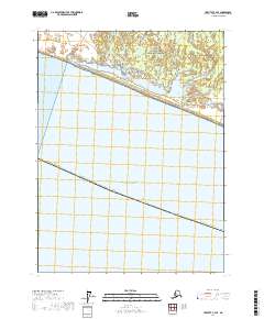
2017 Map of Yakutat A-2 SE
USGS Topo · Published 2017About this map
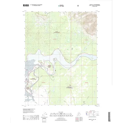
Glacier Bay National Preserve dominates this coastal Alaskan landscape, where the interaction between glacial runoff and the sea is evident. The drainage systems of the East Alsek River and the Doame River carve through the terrain, illustrating the complex hydrology of the Yakutat Borough. Transportation across this wilderness is marked by an intricate network of paths, including the Dog Salmon Cutoff Trail, Bear Island Trail, and Schumacher Trail. These routes, alongside the Maze Central Route and Maze W Route, suggest a history of seasonal access or resource management within the preserve. The proximity to the Gulf of Alaska coastline emphasizes the maritime influence on the region's geography. Researchers can trace specific access points like the E Mouth Route and E Access Trail, providing insight into the backcountry navigation used during the early 21st century.
Find a feature on this map
21 named features on this map. Tap any name to fly to it.
Don’t see what you’re looking for? This feature index may not catch every label — zoom into the map to look around manually.
Map Details
Editions of this 2017 Yakutat A-2 SE Map
This is the sole edition of this map. No revisions or reprints were ever made.
Other maps of this area

1951 · Yakutat
USGS Topo · 1:250,000

1951 · Mt Fairweather
USGS Topo · 1:250,000

1959 · Yakutat A-1
USGS Topo · 1:63,360

1959 · Yakutat A-2
USGS Topo · 1:63,360

1959 · Yakutat
USGS Topo · 1:250,000

1961 · Mt Fairweather
USGS Topo · 1:250,000
2017 · Yakutat A-1 NW
USGS Topo · 1:25,000
2017 · Yakutat A-1 SW
USGS Topo · 1:25,000
2017 · Yakutat A-2 NW
USGS Topo · 1:25,000
2017 · Yakutat A-2 NE
USGS Topo · 1:25,000