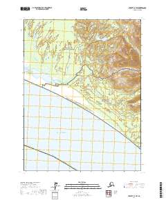
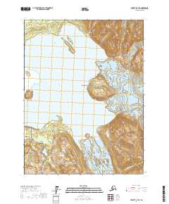
2017 Map of Yakutat A-1 SW
USGS Topo · Published 2017About this map
Glacier Bay National Park and the adjacent Glacier Bay National Preserve dominate this coastal landscape where the Alaskan wilderness meets the Gulf of Alaska. The terrain is defined by the braided drainage of the Doame River and its tributary, the S Fork Doame River, which cut through low-lying wetlands before reaching the Pacific. The Ranney Route provides a rare point of overland passage through this remote section of the Yakutat Borough. Situated along the Yakutat - Juneau boundary, the map captures a dynamic glacial outwash environment characterized by shifting watercourses and dense marshland, reflecting the complex ecological transition between protected federal lands and the open sea.
Find a feature on this map
13 named features on this map. Tap any name to fly to it.
Don’t see what you’re looking for? This feature index may not catch every label — zoom into the map to look around manually.
Map Details
Editions of this 2017 Yakutat A-1 SW Map
This is the sole edition of this map. No revisions or reprints were ever made.
Other maps of this area

1951 · Yakutat
USGS Topo · 1:250,000

1951 · Mt Fairweather
USGS Topo · 1:250,000

1959 · Yakutat A-1
USGS Topo · 1:63,360

1959 · Yakutat A-2
USGS Topo · 1:63,360

1959 · Yakutat
USGS Topo · 1:250,000
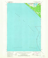
1961 · Mount Fairweather D-7
USGS Topo · 1:63,360

1961 · Mt Fairweather
USGS Topo · 1:250,000
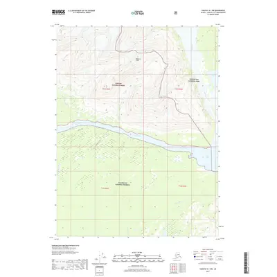
2017 · Yakutat A-1 NW
USGS Topo · 1:25,000
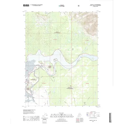
2017 · Yakutat A-2 NE
USGS Topo · 1:25,000
2017 · Yakutat A-1 NE
USGS Topo · 1:25,000