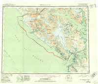
1951 Map of Mt Fairweather
USGS Topo · Published 1953About this map
Mt Fairweather stands as the towering centerpiece of this mid-century survey, marking the international boundary between Alaska and British Columbia. The landscape is dominated by the immense Brady Glacier and the jagged peaks of the Fairweather Range, where massive ice fields flow into coastal inlets. In the southwest, Lituya Bay reveals a complex shoreline featuring Cenotaph I and the long reach of La Chaussee Spit.
Find a feature on this map
181 named features on this map. Tap any name to fly to it.
Don’t see what you’re looking for? This feature index may not catch every label — zoom into the map to look around manually.
Map Details
Editions of this 1951 Mt Fairweather Map
2 editions found

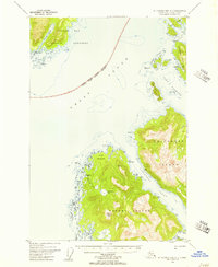
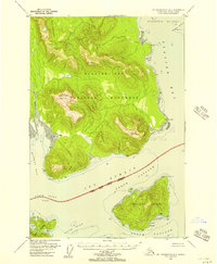
Other maps of this area
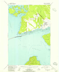
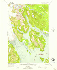
1948 · Juneau B-6
USGS Topo · 1:63,360

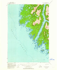
1948 · Juneau C-6
USGS Topo · 1:63,360
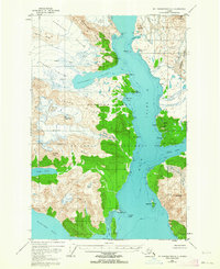
1948 · Mount Fairweather A-2
USGS Topo · 1:63,360
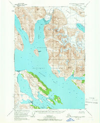
1948 · Mount Fairweather B-1
USGS Topo · 1:63,360

1948 · Sitka D-6
USGS Topo · 1:63,360
1948 · Mount Fairweather B-2
USGS Topo · 1:63,360
1948 · Sitka D-8
USGS Topo · 1:63,360
1948 · Mount Fairweather D-1
USGS Topo · 1:63,360
1948 · Mount Fairweather D-2
USGS Topo · 1:63,360

1948 · Mount Fairweather A-1
USGS Topo · 1:63,360