
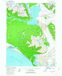
1959 Map of Yakutat A-1
USGS Topo · Published 1959About this map
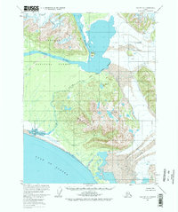
Alsek River and its various distributaries dominate this coastal stretch of the Tongass National Forest as it meets the Gulf of Alaska. The landscape is defined by the massive glacial activity of the Alsek Glacier and the Grand Plateau Glacier, which feed into complex water systems like Lower Doame Lake and Upper Doame Lake. The Deception Hills and the Brabazon Range provide dramatic elevation changes, showing the physical geography of the region before any modern development or roads reached this segment of the coastline.
Find a feature on this map
14 named features on this map. Tap any name to fly to it.
Don’t see what you’re looking for? This feature index may not catch every label — zoom into the map to look around manually.
Map Details
Editions of this 1959 Yakutat A-1 Map
3 editions found
Other maps of this area

1951 · Yakutat
USGS Topo · 1:250,000

1951 · Mt Fairweather
USGS Topo · 1:250,000

1952 · Skagway
USGS Topo · 1:250,000

1959 · Yakutat A-2
USGS Topo · 1:63,360

1959 · Yakutat B-2
USGS Topo · 1:63,360

1959 · Yakutat B-1
USGS Topo · 1:63,360

1959 · Yakutat
USGS Topo · 1:250,000
1961 · Mount Fairweather D-7
USGS Topo · 1:63,360

1961 · Mount Fairweather D-6
USGS Topo · 1:63,360
1961 · Skagway B-8
USGS Topo · 1:63,360