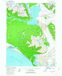
1959 Map of Yakutat A-1
USGS Topo · Published 1963About this map
The Alsek River and Doame River systems dominate this coastal Alaskan landscape, revealing a transition from ice-bound highlands to the Pacific shore in the late 1950s. At the northern edge, the massive Alsek Glacier and the Brabazon Range define the glacial headwaters, while the southern reaches descend through the Deception Hills toward the Gulf of Alaska. The map documents a wilderness within the Tongass National Forest, notable for its lack of established roads or permanent settlements during this period. The drainage of Lower Doame Lake and Upper Doame Lake connects through the Doame River, showcasing the intricate glacial hydrology of the Grand Plateau Glacier region. This survey, based on aerial photography from 1948 and 1958, provides a high-resolution look at the shifting glacial margins and river courses before significant modern environmental changes.
Find a feature on this map
16 named features on this map. Tap any name to fly to it.
Don’t see what you’re looking for? This feature index may not catch every label — zoom into the map to look around manually.
Map Details
Editions of this 1959 Yakutat A-1 Map
3 editions found
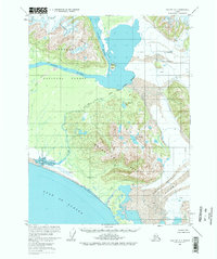
Other maps of this area

1951 · Yakutat
USGS Topo · 1:250,000

1951 · Mt Fairweather
USGS Topo · 1:250,000

1952 · Skagway
USGS Topo · 1:250,000

1959 · Yakutat A-1
USGS Topo · 1:63,360

1959 · Yakutat A-2
USGS Topo · 1:63,360

1959 · Yakutat B-2
USGS Topo · 1:63,360

1959 · Yakutat B-1
USGS Topo · 1:63,360

1959 · Yakutat
USGS Topo · 1:250,000
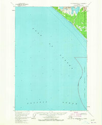
1961 · Mount Fairweather D-7
USGS Topo · 1:63,360

1961 · Mount Fairweather D-6
USGS Topo · 1:63,360