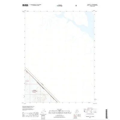
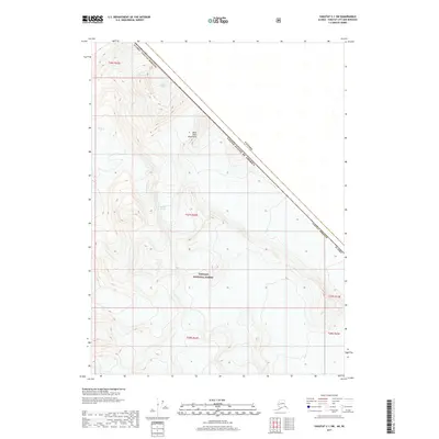
2017 Map of Yakutat C-1 SE
USGS Topo · Published 2017About this map
The international border between Canada and the United States of America cuts a sharp diagonal through this 2017 survey, where the remote northern landscape is defined by its administrative boundaries. Much of the southwestern portion of the sheet is protected within the Tongass National Forest, a territory characterized by significant elevation changes indicated by the dense contouring in the south. The map documents the intersection of the Yakutat Borough in Alaska with the British Columbia wilderness. While the northern and eastern portions of the map are relatively sparse in terms of named landmarks, the topography reveals a complex network of glacial or river-cut valleys and drainage patterns leading toward the coast, emphasizing the isolation and pristine nature of this subarctic frontier.
Find a feature on this map
7 named features on this map. Tap any name to fly to it.
Don’t see what you’re looking for? This feature index may not catch every label — zoom into the map to look around manually.
Map Details
Editions of this 2017 Yakutat C-1 SE Map
This is the sole edition of this map. No revisions or reprints were ever made.
Other maps of this area

1951 · Yakutat
USGS Topo · 1:250,000

1952 · Skagway
USGS Topo · 1:250,000

1959 · Yakutat B-1
USGS Topo · 1:63,360

1959 · Yakutat
USGS Topo · 1:250,000
1961 · Skagway B-8
USGS Topo · 1:63,360

1961 · Skagway
USGS Topo · 1:250,000
1985 · Yakutat C-1
USGS Topo · 1:63,360

1997 · Yakutat B-1
USGS Topo · 1:63,360
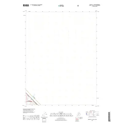
2017 · Yakutat C-1 NW
USGS Topo · 1:25,000
2017 · Yakutat C-1 SW
USGS Topo · 1:25,000