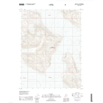
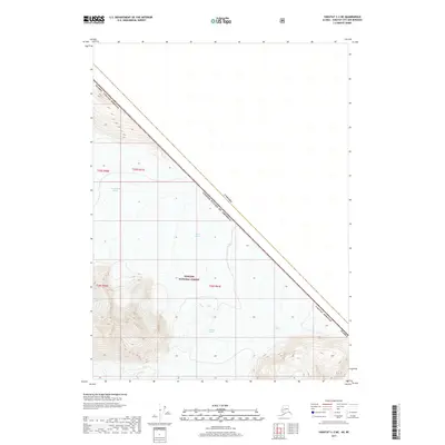
2017 Map of Yakutat C-2 SE
USGS Topo · Published 2017About this map
Tongass National Forest dominates this coastal Alaska landscape, characterized by massive ice fields and steep topographic relief. The map illustrates the glacial movement of the Novatak Glacier as it flows across the southeast corner and through the central valley, alongside the northern reaches of the Battle Glacier. These frozen rivers define the drainage patterns and landforms of the region, carving deep into the surrounding peaks. This 2017 study provides a detailed record of ice boundaries and elevations within the National Forest system, serving as a critical data point for understanding the physical state of the Yakutat City and Borough wilderness in the early 21st century.
Find a feature on this map
11 named features on this map. Tap any name to fly to it.
Don’t see what you’re looking for? This feature index may not catch every label — zoom into the map to look around manually.
Map Details
Editions of this 2017 Yakutat C-2 SE Map
This is the sole edition of this map. No revisions or reprints were ever made.
Other maps of this area

1951 · Yakutat
USGS Topo · 1:250,000

1959 · Yakutat B-2
USGS Topo · 1:63,360

1959 · Yakutat B-1
USGS Topo · 1:63,360

1959 · Yakutat
USGS Topo · 1:250,000
1985 · Yakutat C-1
USGS Topo · 1:63,360

1985 · Yakutat C-2
USGS Topo · 1:63,360

1997 · Yakutat B-1
USGS Topo · 1:63,360
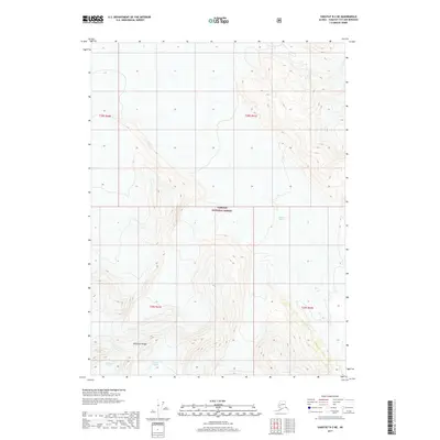
2017 · Yakutat B-2 NE
USGS Topo · 1:25,000
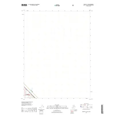
2017 · Yakutat C-1 NW
USGS Topo · 1:25,000
2017 · Yakutat C-2 NE
USGS Topo · 1:25,000