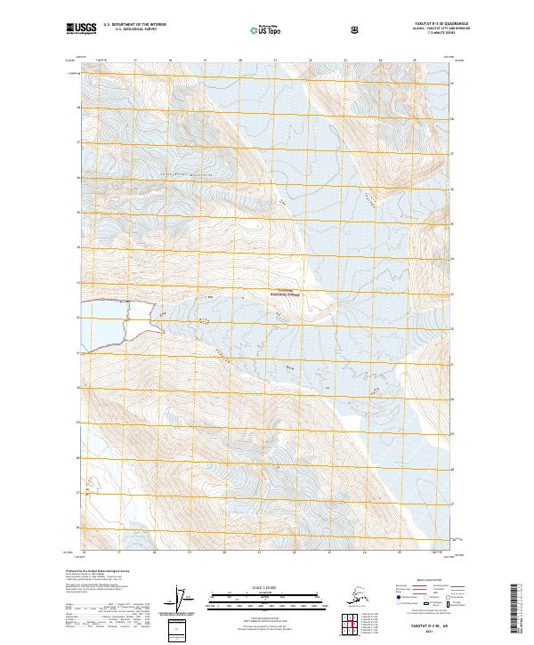
2021 Map of Yakutat D-3 SE
USGS Topo · Published 2021About this map
The Saint Elias Mountains dominate this 2021 topographic study, providing a look at a landscape defined by massive ice fields and glacial movement within the Tongass National Forest. The map centers on the convergence of major frozen waterways, notably the Hubbard Glacier and Art Lewis Glacier. These features represent the dynamic nature of the Alaskan coast, where the sheer scale of the ice mass dictates the geography of the surrounding territory.
Find a feature on this map
12 named features on this map. Tap any name to fly to it.
Don’t see what you’re looking for? This feature index may not catch every label — zoom into the map to look around manually.
Map Details
Editions of this 2021 Yakutat D-3 SE Map
This is the sole edition of this map. No revisions or reprints were ever made.
Other maps of this area

1951 · Yakutat
USGS Topo · 1:250,000

1959 · Yakutat C-3
USGS Topo · 1:63,360

1959 · Yakutat D-3
USGS Topo · 1:63,360

1959 · Yakutat
USGS Topo · 1:250,000

1985 · Yakutat C-2
USGS Topo · 1:63,360
1985 · Yakutat D-2
USGS Topo · 1:63,360
2017 · Yakutat D-2 NW
USGS Topo · 1:25,000
2017 · Yakutat D-3 SW
USGS Topo · 1:25,000
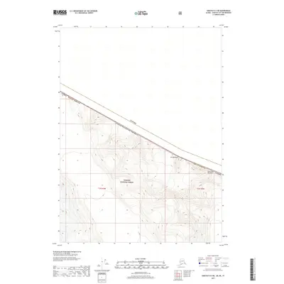
2017 · Yakutat D-3 NE
USGS Topo · 1:25,000
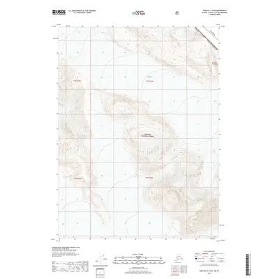
2017 · Yakutat C-2 NW
USGS Topo · 1:25,000