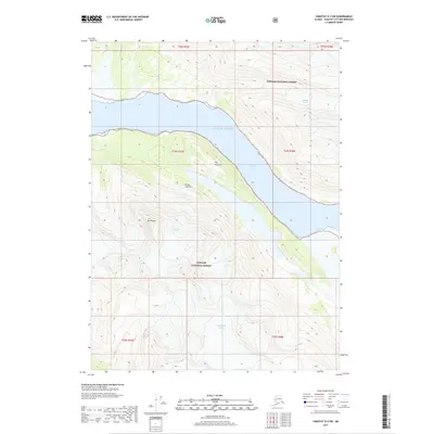
2017 Map of Yakutat D-3 SW
USGS Topo · Published 2017About this map
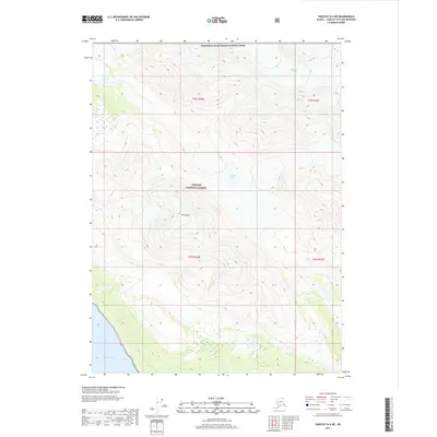
Nunatak Fiord carves a deep path through the coastal wilderness of Tongass National Forest in this 2017 survey of the Alaskan coastline. The landscape is defined by the massive glacial formations that flow toward the Gulf of Alaska, including West Nunatak Glacier and the steep ice of Cascading Glacier. Dramatic elevation changes are evident at Mt Draper and the promontory of The Nunatak, which stands prominently above the water. This modern study illustrates the ongoing interaction between the massive ice fields of Hanging Glacier and the marine environment, providing a precise record of the shoreline near Punta Cascales at a time of significant glacial flux.
Find a feature on this map
15 named features on this map. Tap any name to fly to it.
Don’t see what you’re looking for? This feature index may not catch every label — zoom into the map to look around manually.
Map Details
Editions of this 2017 Yakutat D-3 SW Map
This is the sole edition of this map. No revisions or reprints were ever made.
Other maps of this area

1951 · Yakutat
USGS Topo · 1:250,000

1959 · Yakutat C-3
USGS Topo · 1:63,360

1959 · Yakutat D-3
USGS Topo · 1:63,360

1959 · Yakutat D-4
USGS Topo · 1:63,360

1959 · Yakutat C-4
USGS Topo · 1:63,360

1959 · Yakutat
USGS Topo · 1:250,000
1997 · Yakutat C-4
USGS Topo · 1:63,360
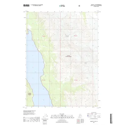
2017 · Yakutat C-4 NE
USGS Topo · 1:25,000
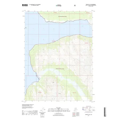
2017 · Yakutat D-4 SE
USGS Topo · 1:25,000
2017 · Yakutat D-4 NE
USGS Topo · 1:25,000