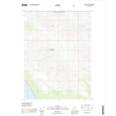
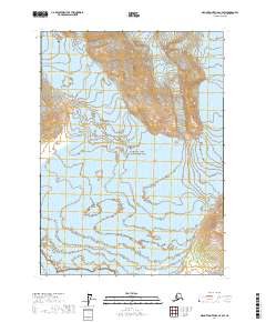
2017 Map of Yakutat D-4 NE
USGS Topo · Published 2017About this map
Russell Fiord marks the southwestern boundary of this coastal wilderness, where the steep terrain rises sharply from the waterline into high glacial peaks. The landscape is defined by the massive ice flows of Variagated Glacier in the north and the smaller Orange Glacier situated near the center of the quadrangle. This area serves as a significant intersection of federal land management, split between the southern reaches of Wrangell-Saint Elias National Park and the northern expanse of the Tongass National Forest.
Find a feature on this map
10 named features on this map. Tap any name to fly to it.
Don’t see what you’re looking for? This feature index may not catch every label — zoom into the map to look around manually.
Map Details
Editions of this 2017 Yakutat D-4 NE Map
This is the sole edition of this map. No revisions or reprints were ever made.
Other maps of this area

1951 · Yakutat
USGS Topo · 1:250,000

1951 · Mt Saint Elias
USGS Topo · 1:250,000

1959 · Yakutat D-3
USGS Topo · 1:63,360

1959 · Yakutat D-4
USGS Topo · 1:63,360

1959 · Yakutat
USGS Topo · 1:250,000

1959 · Mt Saint Elias
USGS Topo · 1:250,000
1985 · Mount Saint Elias A-4
USGS Topo · 1:63,360
1985 · Mount Saint Elias A-3
USGS Topo · 1:63,360
2017 · Mount Saint Elias A-4 SE
USGS Topo · 1:25,000
2017 · Mount Saint Elias A-4 SW
USGS Topo · 1:25,000