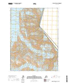
2017 Map of Mount Saint Elias A-4 SE
USGS Topo · Published 2017About this map
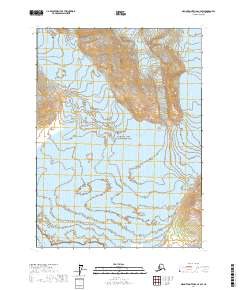
The massive ice field of the Hubbard Glacier dominates the northern reaches of this glaciated terrain within the Wrangell-Saint Elias National Park. Moving south, the Variegated Glacier carves through the landscape, illustrating the dynamic glacial systems of the Yakutat Borough. The topography is defined by the international border between Canada and the United States, which runs along a dramatic ridgeline including the peak of Mt Seattle. This boundary segment separates the Alaskan wilderness from British Columbia, capturing the precise point where national jurisdictions meet among these high-altitude ice flows and mountain summits. The map provides a detailed look at the complex contour lines and township-and-range divisions that structure this remote section of the Saint Elias Mountains during the early twenty-first century.
Find a feature on this map
10 named features on this map. Tap any name to fly to it.
Don’t see what you’re looking for? This feature index may not catch every label — zoom into the map to look around manually.
Map Details
Editions of this 2017 Mount Saint Elias A-4 SE Map
This is the sole edition of this map. No revisions or reprints were ever made.
Other maps of this area

1951 · Yakutat
USGS Topo · 1:250,000

1951 · Mt Saint Elias
USGS Topo · 1:250,000

1959 · Yakutat D-3
USGS Topo · 1:63,360

1959 · Yakutat D-4
USGS Topo · 1:63,360

1959 · Yakutat
USGS Topo · 1:250,000

1959 · Mt Saint Elias
USGS Topo · 1:250,000
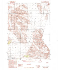
1985 · Mount Saint Elias A-4
USGS Topo · 1:63,360
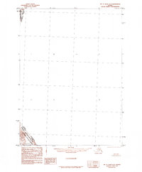
1985 · Mount Saint Elias A-3
USGS Topo · 1:63,360
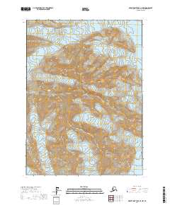
2017 · Mount Saint Elias A-4 NW
USGS Topo · 1:25,000
2017 · Mount Saint Elias A-4 SW
USGS Topo · 1:25,000