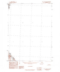
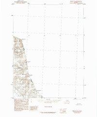
1985 Map of Mount Saint Elias A-3
USGS Topo · Published 1985About this map
Wrangell-Saint Elias National Park and the Wrangell-Saint Elias Wilderness dominate the small portion of land shown in the southwest corner of this map, representing a massive expanse of protected subarctic wilderness. Produced in 1985, this topographic sheet documents the international boundary line where the Alaska Yukon Territory border meets the United States Canada division. The map is primarily comprised of a vast, unmapped coordinate grid, reflecting the extreme and inaccessible nature of the high-altitude terrain near the border. It serves as a record of federal reservation boundaries established by the Alaska National Interest Lands Conservation Act of 1980, as compiled by the U.S. Geological Survey and the Bureau of Land Management.
Find a feature on this map
4 named features on this map. Tap any name to fly to it.
Don’t see what you’re looking for? This feature index may not catch every label — zoom into the map to look around manually.
Map Details
Editions of this 1985 Mount Saint Elias A-3 Map
This is the sole edition of this map. No revisions or reprints were ever made.
Other maps of this area

1951 · Yakutat
USGS Topo · 1:250,000

1951 · Mt Saint Elias
USGS Topo · 1:250,000

1959 · Yakutat D-3
USGS Topo · 1:63,360

1959 · Yakutat D-4
USGS Topo · 1:63,360

1959 · Yakutat
USGS Topo · 1:250,000

1959 · Mt Saint Elias
USGS Topo · 1:250,000
1985 · Mount Saint Elias B-4
USGS Topo · 1:63,360
1985 · Mount Saint Elias A-4
USGS Topo · 1:63,360
1985 · Mount Saint Elias B-3
USGS Topo · 1:63,360
1985 · Yakutat D-2
USGS Topo · 1:63,360