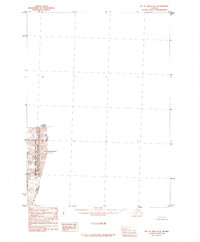
1985 Map of Mount Saint Elias B-3
USGS Topo · Published 1985About this map
Mount Hubbard and Mount Alverstone tower over the high-altitude landscape shown in this specialized survey, which focuses on the international boundary between the United States and Canada. This 1985 provisional edition documents a narrow strip of terrain where the Alaska and Yukon Territory borders meet. The map reveals the immense scale of the Alverstone Glacier as it flows through the protected reaches of Wrangell-Saint Elias National Park and the Wrangell-Saint Elias Wilderness. Because much of the quadrangle was unmapped or inaccessible at the time of publication, the sheet emphasizes these primary geographic landmarks and administrative borders, offering a precise record of the international line through some of the most remote mountaineering terrain in North America.
Find a feature on this map
7 named features on this map. Tap any name to fly to it.
Don’t see what you’re looking for? This feature index may not catch every label — zoom into the map to look around manually.
Map Details
Editions of this 1985 Mount Saint Elias B-3 Map
This is the sole edition of this map. No revisions or reprints were ever made.
Other maps of this area

1951 · Mt Saint Elias
USGS Topo · 1:250,000

1959 · Mt Saint Elias
USGS Topo · 1:250,000
1985 · Mount Saint Elias B-4
USGS Topo · 1:63,360
1985 · Mount Saint Elias A-4
USGS Topo · 1:63,360
1985 · Mount Saint Elias A-3
USGS Topo · 1:63,360
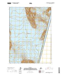
2017 · Mount Saint Elias A-4 NE
USGS Topo · 1:25,000
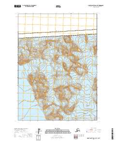
2017 · Mount Saint Elias B-4 SE
USGS Topo · 1:25,000
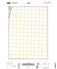
2018 · Mount Saint Elias A-3 NW
USGS Topo · 1:25,000
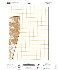
2018 · Mount Saint Elias B-3 SW
USGS Topo · 1:25,000