
1959 Map of Mt Saint Elias
USGS Topo · Published 1966About this map
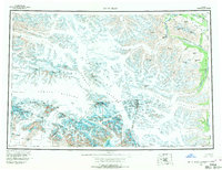
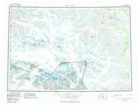
The Alaska-Yukon international boundary cuts through some of North America's most formidable alpine terrain in this 1959 survey. Dominated by the massive Malaspina Glacier and the sprawling Seward Glacier, the landscape is a complex network of ice fields and towering peaks including Mt Logan, Mt Saint Elias, and Mt Kennedy. The map tracks the coastal edge at Disenchantment Bay, where the Hubbard Glacier terminates, and follows the rugged interior ranges where the Alaska Hwy skirts the northern edge of the Kluane Glacier region.
Find a feature on this map
100 named features on this map. Tap any name to fly to it.
Don’t see what you’re looking for? This feature index may not catch every label — zoom into the map to look around manually.
Map Details
Editions of this 1959 Mt Saint Elias Map
3 editions found
Other maps of this area

1950 · Bering Glacier
USGS Topo · 1:250,000

1950 · Icy Bay
USGS Topo · 1:250,000

1951 · McCarthy
USGS Topo · 1:250,000

1951 · Icy Bay
USGS Topo · 1:250,000

1951 · Bering Glacier
USGS Topo · 1:250,000

1951 · Yakutat
USGS Topo · 1:250,000

1951 · Mt Saint Elias
USGS Topo · 1:250,000

1952 · Skagway
USGS Topo · 1:250,000

1959 · Yakutat D-3
USGS Topo · 1:63,360

1959 · Yakutat D-4
USGS Topo · 1:63,360