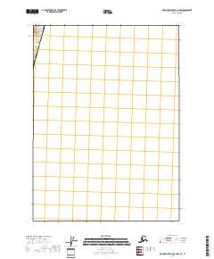
2018 Map of Mount Saint Elias A-3 NW
USGS Topo · Published 2018About this map
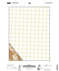
Saint Elias Mountains terrain dominates the extreme northwestern corner of this 2018 survey, which focuses on a segment of the international boundary near United States and Canada. The map illustrates a high-altitude wilderness where the geopolitical line of Yakutat City and Borough meets the international border. Given the sparse human infrastructure, the primary value of this document lies in its precision regarding the border location and the topography of the peaks. The vast majority of the sheet remains open, reflecting the remote nature of these glaciated or snow-covered reaches where few named features are recorded beyond the primary mountain range.
Find a feature on this map
2 named features on this map. Tap any name to fly to it.
Don’t see what you’re looking for? This feature index may not catch every label — zoom into the map to look around manually.
Map Details
Editions of this 2018 Mount Saint Elias A-3 NW Map
This is the sole edition of this map. No revisions or reprints were ever made.
Other maps of this area

1951 · Mt Saint Elias
USGS Topo · 1:250,000

1959 · Mt Saint Elias
USGS Topo · 1:250,000
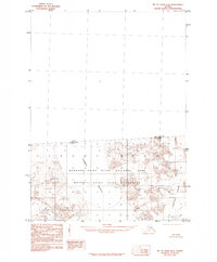
1985 · Mount Saint Elias B-4
USGS Topo · 1:63,360
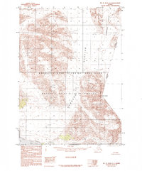
1985 · Mount Saint Elias A-4
USGS Topo · 1:63,360
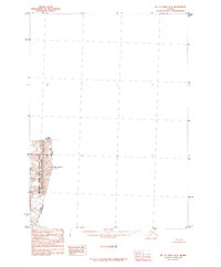
1985 · Mount Saint Elias B-3
USGS Topo · 1:63,360
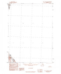
1985 · Mount Saint Elias A-3
USGS Topo · 1:63,360
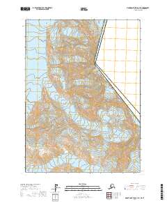
2017 · Mount Saint Elias A-4 SE
USGS Topo · 1:25,000
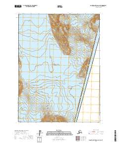
2017 · Mount Saint Elias A-4 NE
USGS Topo · 1:25,000
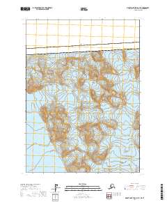
2017 · Mount Saint Elias B-4 SE
USGS Topo · 1:25,000
2018 · Mount Saint Elias A-3 SW
USGS Topo · 1:25,000