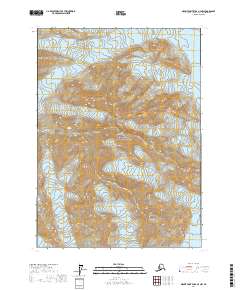
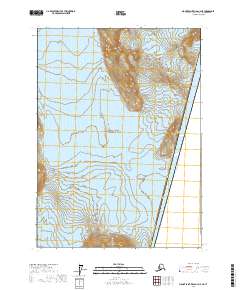
2017 Map of Mount Saint Elias A-4 NW
USGS Topo · Published 2017About this map
Wrangell-Saint Elias National Park dominates this high-altitude landscape in the Saint Elias Mountains. The map detail centers on the massive frozen expanse of the Hubbard Glacier, which flows along the eastern edge of the quadrangle. To the west, the Valerie Glacier carves through steep slopes, both contributing to one of the most active glacial systems in North America. The towering peak of Mt Foresta stands as a primary landmark in this ice-bound wilderness, marking a significant elevation point within the park boundaries. This 2017 survey reflects the contemporary extent of these glacial movements and the remote mountain topography near the Gulf of Alaska, where the landscape is defined entirely by natural forces rather than human settlement.
Find a feature on this map
10 named features on this map. Tap any name to fly to it.
Don’t see what you’re looking for? This feature index may not catch every label — zoom into the map to look around manually.
Map Details
Editions of this 2017 Mount Saint Elias A-4 NW Map
This is the sole edition of this map. No revisions or reprints were ever made.
Other maps of this area

1951 · Mt Saint Elias
USGS Topo · 1:250,000

1959 · Mt Saint Elias
USGS Topo · 1:250,000
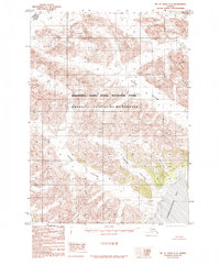
1985 · Mount Saint Elias A-5
USGS Topo · 1:63,360
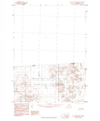
1985 · Mount Saint Elias B-4
USGS Topo · 1:63,360
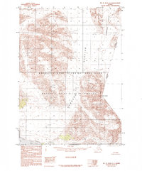
1985 · Mount Saint Elias A-4
USGS Topo · 1:63,360
1985 · Mount Saint Elias B-5
USGS Topo · 1:63,360
2017 · Mount Saint Elias A-4 SE
USGS Topo · 1:25,000
2017 · Mount Saint Elias A-4 SW
USGS Topo · 1:25,000
2017 · Mount Saint Elias B-4 SW
USGS Topo · 1:25,000
2017 · Mount Saint Elias A-4 NE
USGS Topo · 1:25,000