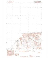
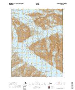
1985 Map of Mount Saint Elias B-5
USGS Topo · Published 1985About this map
Mount Vancouver dominates the high-altitude landscape of this 1985 provisional survey, standing along the international border between the Canada United States boundary. This remote terrain is defined by its protected status within Wrangell-Saint Elias National Park and the adjacent Wrangell-Saint Elias Wilderness. The map reveals a complex network of unnamed ice fields and a prominent Glacier, illustrating the glaciated topography where the Yukon Territory Alaska border meets the American frontier. Compiled from 1961 photography, the data provides a specialized view of the peaks and ridges that define the Saint Elias Mountains before modern mapping shifts. The lack of any roads or trails underscores the isolation of these peaks during the mid-1980s.
Find a feature on this map
7 named features on this map. Tap any name to fly to it.
Don’t see what you’re looking for? This feature index may not catch every label — zoom into the map to look around manually.
Map Details
Editions of this 1985 Mount Saint Elias B-5 Map
This is the sole edition of this map. No revisions or reprints were ever made.
Other maps of this area

1951 · Mt Saint Elias
USGS Topo · 1:250,000

1959 · Mt Saint Elias
USGS Topo · 1:250,000
1985 · Mount Saint Elias A-5
USGS Topo · 1:63,360
1985 · Mount Saint Elias B-4
USGS Topo · 1:63,360
1985 · Mount Saint Elias A-4
USGS Topo · 1:63,360
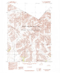
1985 · Mount Saint Elias A-6
USGS Topo · 1:63,360
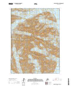
2017 · Mount Saint Elias A-4 NW
USGS Topo · 1:25,000
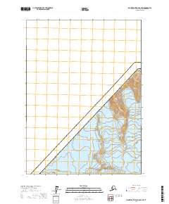
2017 · Mount Saint Elias B-5 SW
USGS Topo · 1:25,000
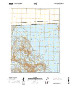
2017 · Mount Saint Elias B-4 SW
USGS Topo · 1:25,000
2017 · Mount Saint Elias A-5 NE
USGS Topo · 1:25,000