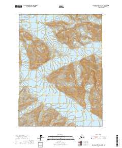
2017 Map of Mount Saint Elias A-5 NE
USGS Topo · Published 2017About this map
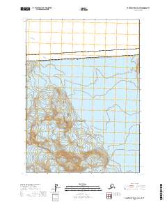
Wrangell-Saint Elias National Park dominates this high-altitude Alaskan landscape, where the sheer scale of the glacial systems is revealed through intricate contour lines. The massive Hubbard Glacier enters from the northeast, carved into a deep mountain valley, while the Valerie Glacier and Haenke Glacier flow through the central and southern reaches. The map provides a detailed topographic study of this icy terrain at the edge of Yakutat City and Borough, documenting the convergence of these frozen rivers within the protected wilderness. This 2017 data captures a specific moment in the movement and extent of these glaciers, offering a precise view of the drainage patterns and peaks that define the Saint Elias Mountains.
Find a feature on this map
10 named features on this map. Tap any name to fly to it.
Don’t see what you’re looking for? This feature index may not catch every label — zoom into the map to look around manually.
Map Details
Editions of this 2017 Mount Saint Elias A-5 NE Map
This is the sole edition of this map. No revisions or reprints were ever made.
Other maps of this area

1951 · Mt Saint Elias
USGS Topo · 1:250,000

1959 · Mt Saint Elias
USGS Topo · 1:250,000
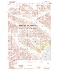
1985 · Mount Saint Elias A-5
USGS Topo · 1:63,360
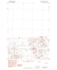
1985 · Mount Saint Elias B-4
USGS Topo · 1:63,360
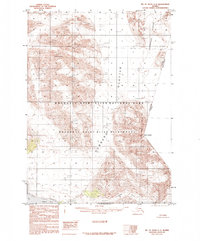
1985 · Mount Saint Elias A-4
USGS Topo · 1:63,360
1985 · Mount Saint Elias B-5
USGS Topo · 1:63,360
2017 · Mount Saint Elias A-4 NW
USGS Topo · 1:25,000
2017 · Mount Saint Elias B-5 SW
USGS Topo · 1:25,000
2017 · Mount Saint Elias A-4 SW
USGS Topo · 1:25,000
2017 · Mount Saint Elias B-4 SW
USGS Topo · 1:25,000