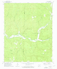
1973 Map of Yale
USGS Topo · Published 1976About this map
The Mulberry River winds through the heart of this mid-1970s landscape, marking the rugged transition where the Ozark National Forest dominates the terrain of the Johnson and Franklin County border. Small communities like Yale, Beach Grove, and the uniquely named Peanut are situated along the valley floors, connected by narrow roads that trace the natural contours of the Ozark highlands. The mapping reflects a traditional rural settlement pattern, with family and community foundations anchored by several burial grounds including Yager Cem and Lone Pine Cem.
Find a feature on this map
27 named features on this map. Tap any name to fly to it.
Don’t see what you’re looking for? This feature index may not catch every label — zoom into the map to look around manually.
Map Details
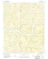
Editions of this 1973 Yale Map
2 editions found
Other maps of this area

1879 · Cravens
USGS Topo · 1:62,500

1887 · Watalula
USGS Topo · 1:62,500

1906 · Batson
USGS Topo · 1:62,500

1939 · Watalula
USGS Topo · 1:62,500

1943 · St. Paul
USGS Topo · 1:62,500

1946 · St. Paul
USGS Topo · 1:62,500

1956 · Russellville
USGS Topo · 1:250,000
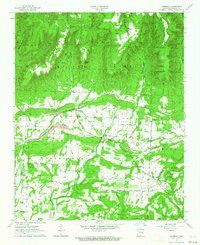
1963 · Harmony
USGS Topo · 1:24,000
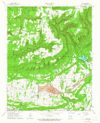
1963 · Hunt
USGS Topo · 1:24,000

1964 · Russellville
USGS Topo · 1:250,000