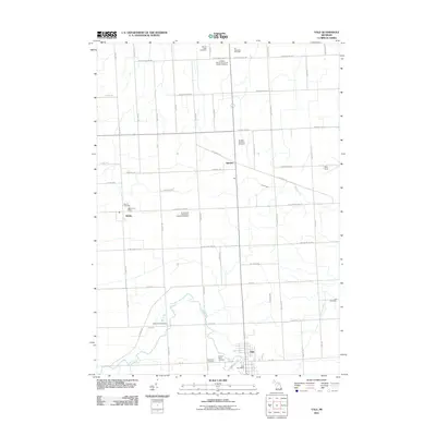
2011 Map of Yale
USGS Topo · Published 2011About this map
The city of Yale anchors the southern portion of this Saint Clair County landscape, situated where Mill Creek and Jackson Creek converge. The area is defined by a dense grid of agricultural section lines and township roads, with the small settlements of Melvin and Speaker serving as important local hubs in the early 21st century. This survey is particularly notable for its high concentration of documented burial sites, which provide a significant record for genealogists.
Find a feature on this map
58 named features on this map. Tap any name to fly to it.
Don’t see what you’re looking for? This feature index may not catch every label — zoom into the map to look around manually.
Map Details
Editions of this 2011 Yale Map
This is the sole edition of this map. No revisions or reprints were ever made.
Other maps of this area

1954 · Flint
USGS Topo · 1:250,000

1958 · Flint
USGS Topo · 1:250,000

1961 · Brown City
USGS Topo · 1:24,000

1961 · Roseburg
USGS Topo · 1:24,000
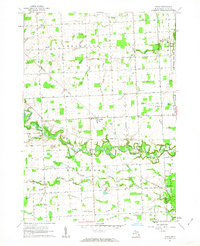
1961 · Avoca
USGS Topo · 1:24,000
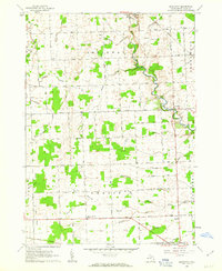
1961 · Brockway
USGS Topo · 1:24,000

1961 · Yale
USGS Topo · 1:24,000
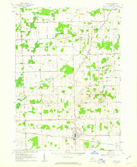
1961 · Capac
USGS Topo · 1:24,000

1963 · Peck
USGS Topo · 1:24,000

1963 · Juhl
USGS Topo · 1:24,000