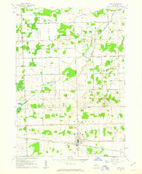
1961 Map of Capac
USGS Topo · Published 1963About this map
The village of Capac sits as the southern anchor of this Michigan landscape, where the Grand Trunk railroad cuts east-to-west through the heart of Mussey township. The terrain is defined by a dense network of agricultural improvements, including the Black Drain, Segate Drain, and South Branch Drain, which channel water away from low-lying areas like The Island in Lynn township. These drains demonstrate the mid-century transformation of the St. Clair County wetlands into productive farmland.
Find a feature on this map
47 named features on this map. Tap any name to fly to it.
Don’t see what you’re looking for? This feature index may not catch every label — zoom into the map to look around manually.
Map Details
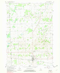
Editions of this 1961 Capac Map
2 editions found
Other maps of this area

1914 · Armada
USGS Topo · 1:62,500

1928 · Armada
USGS Topo · 1:62,500

1944 · Memphis
USGS Topo · 1:24,000

1945 · Almont
USGS Topo · 1:24,000

1945 · Allenton
USGS Topo · 1:24,000

1952 · Allenton
USGS Topo · 1:24,000

1952 · Memphis
USGS Topo · 1:24,000

1954 · Detroit
USGS Topo · 1:250,000

1954 · Flint
USGS Topo · 1:250,000

1958 · Flint
USGS Topo · 1:250,000