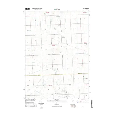
2014 Map of Yale
USGS Topo · Published 2014About this map
The borderlands between Sanilac Co and St. Clair Co are defined by an extensive network of managed drainage canals and creeks that support the region's agricultural character. Small settlements like Melvin and Speaker anchor the rural landscape, while the more developed hub of Yale sits at the southern edge of the survey. The mapping reveals a high density of burial grounds, including the Christian Memorial Cultural Center Cem and Immaculate Conception Catholic Cem, reflecting the deep-rooted community ties and genealogical history of the area.
Find a feature on this map
62 named features on this map. Tap any name to fly to it.
Don’t see what you’re looking for? This feature index may not catch every label — zoom into the map to look around manually.
Map Details
Editions of this 2014 Yale Map
This is the sole edition of this map. No revisions or reprints were ever made.
Other maps of this area

1954 · Flint
USGS Topo · 1:250,000

1958 · Flint
USGS Topo · 1:250,000

1961 · Brown City
USGS Topo · 1:24,000

1961 · Roseburg
USGS Topo · 1:24,000
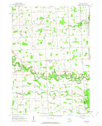
1961 · Avoca
USGS Topo · 1:24,000
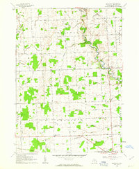
1961 · Brockway
USGS Topo · 1:24,000

1961 · Yale
USGS Topo · 1:24,000
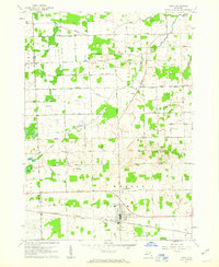
1961 · Capac
USGS Topo · 1:24,000

1963 · Peck
USGS Topo · 1:24,000

1963 · Juhl
USGS Topo · 1:24,000