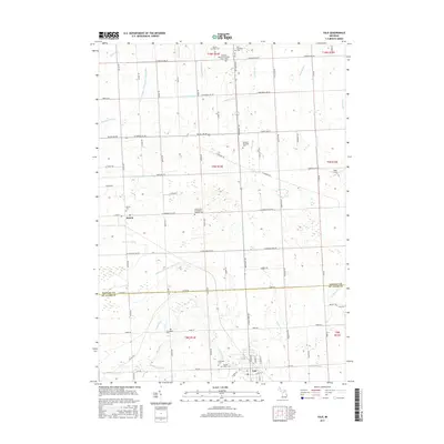
2017 Map of Yale
USGS Topo · Published 2017About this map
Yale and the smaller village of Melvin anchor this agricultural landscape along the border of Sanilac and St. Clair counties. The area is defined by an intricate network of drainage systems, including Mill Creek, Black Creek, and the Sanilac and Saint Clair Drain, which support the surrounding farmland. Numerous small family and township burial grounds are scattered throughout the townships, such as Elmwood Cemetery, McFadden Cemetery, and Lett Cemetery, providing significant points of interest for genealogical research. The presence of the Speaker Township School and churches like the Immaculate Conception Catholic Church illustrate the enduring community structure of this rural Michigan region. A local aviation landmark, Para Field, appears in the eastern portion of the survey near Cork Road.
Find a feature on this map
95 named features on this map. Tap any name to fly to it.
Don’t see what you’re looking for? This feature index may not catch every label — zoom into the map to look around manually.
Map Details
Editions of this 2017 Yale Map
This is the sole edition of this map. No revisions or reprints were ever made.
Other maps of this area

1954 · Flint
USGS Topo · 1:250,000

1958 · Flint
USGS Topo · 1:250,000

1961 · Brown City
USGS Topo · 1:24,000

1961 · Roseburg
USGS Topo · 1:24,000
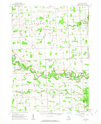
1961 · Avoca
USGS Topo · 1:24,000
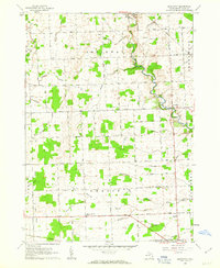
1961 · Brockway
USGS Topo · 1:24,000

1961 · Yale
USGS Topo · 1:24,000
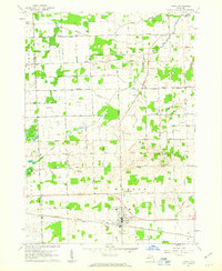
1961 · Capac
USGS Topo · 1:24,000

1963 · Peck
USGS Topo · 1:24,000

1963 · Juhl
USGS Topo · 1:24,000