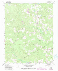
1966 Map of Yale
USGS Topo · Published 1990About this map
The community of Yale serves as a central hub in this Southern Virginia landscape, situated where the Old Railroad Grade once provided a vital transportation artery through the pine-laden lowlands. The rural character of the region is defined by a network of small settlements and neighborhood focal points, including Hilda, Gray, and Joyner. These communities are punctuated by numerous local houses of worship such as Russian Ch, Calvary Ch, and Antioch Ch, which suggest a deeply rooted social fabric in the mid-20th century.
Find a feature on this map
20 named features on this map. Tap any name to fly to it.
Don’t see what you’re looking for? This feature index may not catch every label — zoom into the map to look around manually.
Map Details
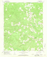
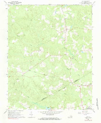
Editions of this 1966 Yale Map
3 editions found
Other maps of this area

1919 · Jarratt
USGS Topo · 1:62,500

1919 · Homeville
USGS Topo · 1:48,000

1919 · Boykins
USGS Topo · 1:48,000

1919 · Arringdale
USGS Topo · 1:48,000

1920 · Homeville
USGS Topo · 1:62,500

1920 · Boykins
USGS Topo · 1:62,500

1920 · Arringdale
USGS Topo · 1:62,500

1942 · Arringdale
USGS Topo · 1:62,500

1943 · Sebrell
USGS Topo · 1:31,680

1943 · Littleton
USGS Topo · 1:31,680