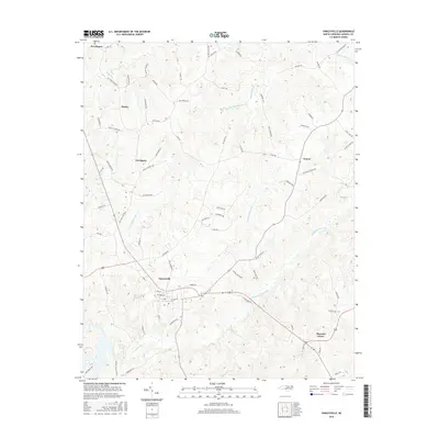
2016 Map of Yanceyville
USGS Topo · Published 2016About this map
Yanceyville serves as the central hub of this Caswell County landscape, where the local road network converges near the winding path of Country Line Creek. The terrain is defined by a dense web of watercourses, including the various branches of Rattlesnake Cr and the southern reaches of Moon Cr near Providence. These streams carved the rolling landscape that dictated the placement of long-standing rural communities like Purley, Covington, and Hamer. Local history is etched into the names of the thoroughfares that connect these settlements, such as Purley Church Rd, Hines Hatchett Rd, and Arthur Taylor Rd, reflecting the families and institutions that have shaped the region. To the southeast, the settlement of Pleasant Grove sits near the banks of Baneja Cr, illustrating the persistent relationship between these small Piedmont communities and the local waterways.
Find a feature on this map
79 named features on this map. Tap any name to fly to it.
Don’t see what you’re looking for? This feature index may not catch every label — zoom into the map to look around manually.
Map Details
Editions of this 2016 Yanceyville Map
This is the sole edition of this map. No revisions or reprints were ever made.
Other maps of this area

1923 · Danville
USGS Topo · 1:48,000

1925 · Danville
USGS Topo · 1:62,500

1952 · Milton
USGS Topo · 1:62,500

1953 · Greensboro
USGS Topo · 1:250,000

1954 · Greensboro
USGS Topo · 1:250,000

1956 · Milton
USGS Topo · 1:62,500

1962 · Greensboro
USGS Topo · 1:250,000

1965 · Danville
USGS Topo · 1:24,000

1965 · Ringgold
USGS Topo · 1:24,000

1966 · Greensboro
USGS Topo · 1:250,000