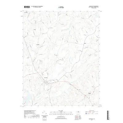
2019 Map of Yanceyville
USGS Topo · Published 2019About this map
Yanceyville serves as the central hub of this Caswell County landscape, where the street grid of the county seat transitions into a complex network of rural roads and rolling drainage basins. The area is defined by the winding course of Country Line Creek to the south and the branching reach of Rattlesnake Creek through the center, illustrating a settlement pattern dictated by the topography of the Piedmont. Smaller communities like Purley, Covington, and Hamer are connected by historical thoroughfares such as Old State Hwy 86 N and Blanch Rd. The map preserves numerous family-named landmarks and local connectors, including Bill Powell Rd and Hines Hatchett Rd, which reflect the deep-rooted agricultural and land-ownership history of north-central North Carolina near the Virginia border.
Find a feature on this map
80 named features on this map. Tap any name to fly to it.
Don’t see what you’re looking for? This feature index may not catch every label — zoom into the map to look around manually.
Map Details
Editions of this 2019 Yanceyville Map
This is the sole edition of this map. No revisions or reprints were ever made.
Other maps of this area

1923 · Danville
USGS Topo · 1:48,000

1925 · Danville
USGS Topo · 1:62,500

1952 · Milton
USGS Topo · 1:62,500

1953 · Greensboro
USGS Topo · 1:250,000

1954 · Greensboro
USGS Topo · 1:250,000

1956 · Milton
USGS Topo · 1:62,500

1962 · Greensboro
USGS Topo · 1:250,000

1965 · Danville
USGS Topo · 1:24,000

1965 · Ringgold
USGS Topo · 1:24,000

1966 · Greensboro
USGS Topo · 1:250,000