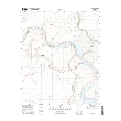
2014 Map of Yancopin
USGS Topo · Published 2014About this map
Yancopin and the surrounding river bottomlands are defined by the winding course of the Arkansas River and its confluence with the White River. This 2014 survey captures a landscape shaped by shifting waters, where oxbows and relic channels like Minnie Anderson Old River and Webfoot Lake mark the former paths of these powerful waterways. The settlement of Watson anchors the southwestern portion of the sheet, while smaller locales like Medina and Benzal sit near the river's edge.
Find a feature on this map
49 named features on this map. Tap any name to fly to it.
Don’t see what you’re looking for? This feature index may not catch every label — zoom into the map to look around manually.
Map Details
Editions of this 2014 Yancopin Map
This is the sole edition of this map. No revisions or reprints were ever made.
Other maps of this area

1935 · Red Fork
USGS Topo · 1:62,500

1935 · Gillett
USGS Topo · 1:62,500

1939 · Henrico
USGS Topo · 1:62,500

1939 · Big Island
USGS Topo · 1:62,500

1948 · Helena
USGS Topo · 1:250,000

1950 · Helena
USGS Topo · 1:250,000

1953 · Greenwood
USGS Topo · 1:250,000

1954 · Henrico
USGS Topo · 1:62,500

1955 · Helena
USGS Topo · 1:250,000

1956 · Greenwood
USGS Topo · 1:250,000