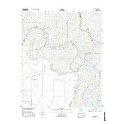
2017 Map of Yancopin
USGS Topo · Published 2017About this map
The Arkansas River carves a complex, winding course through this delta landscape, defining the boundary between Arkansas and Desha counties. The river's historical shifts have left behind a dense network of oxbows and backwaters, including Minnie Anderson Old River and Saw Mill Bend Cutoff. In the southern portion of the sheet, the grid of Watson provides a structured contrast to the serpentine waterways of Sutton Bayou and Rube Bayou. This environment is shaped by the presence of a significant Levee system designed to manage the seasonal fluctuations of the river system.
Find a feature on this map
54 named features on this map. Tap any name to fly to it.
Don’t see what you’re looking for? This feature index may not catch every label — zoom into the map to look around manually.
Map Details
Editions of this 2017 Yancopin Map
This is the sole edition of this map. No revisions or reprints were ever made.
Other maps of this area

1935 · Red Fork
USGS Topo · 1:62,500

1935 · Gillett
USGS Topo · 1:62,500

1939 · Henrico
USGS Topo · 1:62,500

1939 · Big Island
USGS Topo · 1:62,500

1948 · Helena
USGS Topo · 1:250,000

1950 · Helena
USGS Topo · 1:250,000

1953 · Greenwood
USGS Topo · 1:250,000

1954 · Henrico
USGS Topo · 1:62,500

1955 · Helena
USGS Topo · 1:250,000

1956 · Greenwood
USGS Topo · 1:250,000