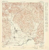
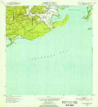
1947 Map of Yauco SE
USGS Topo · Published 1947About this map
Guayanilla serves as the focal point of this coastal landscape, situated where the Río Guayanilla meets the Bahía de Guayanilla. During the late 1940s, the region's economy was deeply tied to the sugar industry, evidenced by the prominent Central Rufina mill and its supporting rail infrastructure. The American Railroad Company of Porto Rico tracks navigate the shoreline, connecting the inland town to the maritime activity at Playa de Guayanilla. To the north, the terrain rises sharply toward Cerro La Tuna, while the Escuela Segunda Unidad de Santo Domingo marks a key community center for the rural residents of the hills. Small settlements like Los Indios and El Faro dot the lowland plains, illustrating the tight-knit residential patterns surrounding the industrial and agricultural hubs of the era.
Find a feature on this map
15 named features on this map. Tap any name to fly to it.
Don’t see what you’re looking for? This feature index may not catch every label — zoom into the map to look around manually.
Map Details
Editions of this 1947 Yauco SE Map
This is the sole edition of this map. No revisions or reprints were ever made.
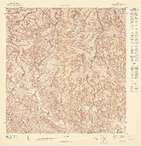
Historical Maps of Rufina Through Time
8 maps found
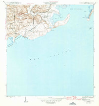
1946 Punta Verraco
Guayanilla Municipio, PR
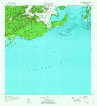
1947 Punta Verraco NE
Guayanilla Municipio, PR
1947 Yauco NE
Guayanilla Municipio, PR
1947 Yauco SE
Guayanilla Municipio, PR
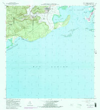
1952 Punta Verraco
Guayanilla Municipio, PR
1958 Punta Verraco
Guayanilla Municipio, PR
1966 Punta Verraco
Guayanilla Municipio, PR
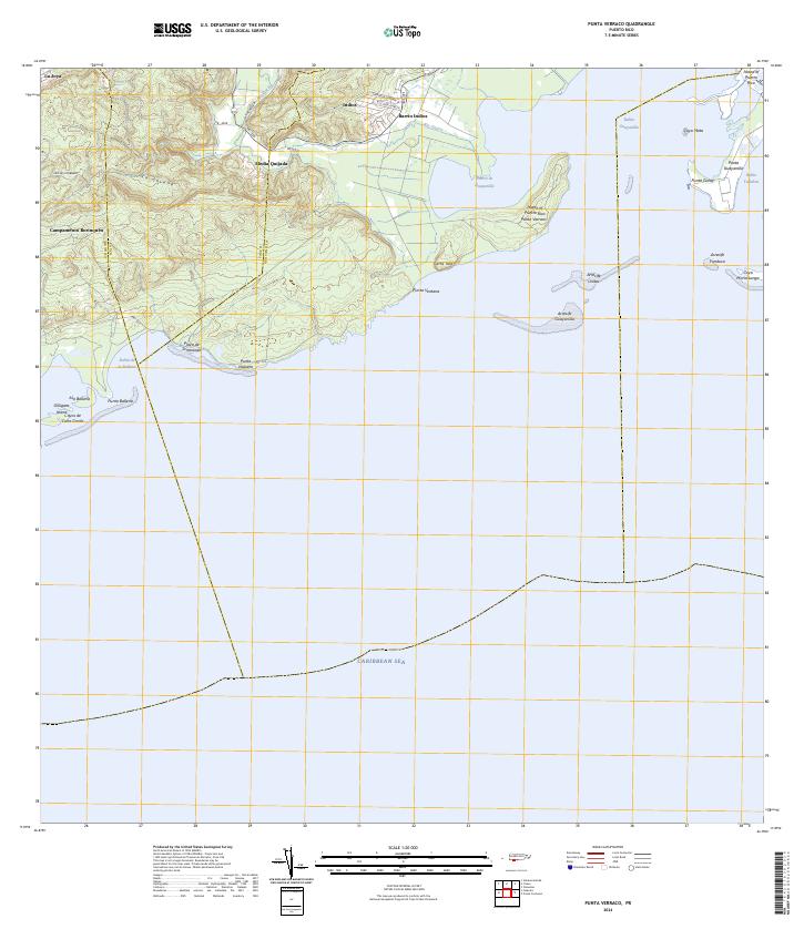
2024 Punta Verraco
Guayanilla Municipio, PR
Featured Locations
- Cedro, Guayanilla
- Guayanilla, Guayanilla
- Sector El Hoyo, Guayanilla
- Sector La Machina, Guayanilla
- Sector Los Lúgaro, Guayanilla