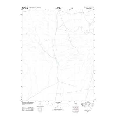
2012 Map of Yellow Cone
USGS Topo · Published 2012About this map
Saulsbury Wash carves a dominant path through the center of this Nye County landscape, its drainage system defining the basin's topography. The area is anchored by three prominent volcanic or sedimentary landforms: Yellow Cone, Sugar Loaf Mountain, and Black Butte. These heights provided essential navigational landmarks for early travel through the high desert of Nevada. Human infrastructure is represented by a network of US Forest Service and local routes, most notably the NFD 459 Rd, which facilitates access to the surrounding public lands. The lack of named settlements reflects the isolated character of this high-elevation region, where the environment remains largely defined by its drainage patterns and geologic outcrops.
Find a feature on this map
5 named features on this map. Tap any name to fly to it.
Don’t see what you’re looking for? This feature index may not catch every label — zoom into the map to look around manually.
Map Details
Editions of this 2012 Yellow Cone Map
This is the sole edition of this map. No revisions or reprints were ever made.
Other maps of this area

1908 · Kawich
USGS Topo · 1:250,000

1942 · Cactus Range
USGS Topo · 1:125,000

1952 · Stinking Spring
USGS Topo · 1:62,500

1952 · Cactus Peak
USGS Topo · 1:62,500

1954 · Goldfield
USGS Topo · 1:250,000

1955 · Goldfield
USGS Topo · 1:250,000

1956 · Tonopah
USGS Topo · 1:250,000

1958 · Goldfield
USGS Topo · 1:250,000

1959 · Tonopah
USGS Topo · 1:250,000

1962 · Goldfield
USGS Topo · 1:250,000