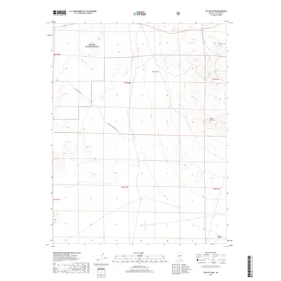
2018 Map of Yellow Cone
USGS Topo · Published 2018About this map
The Toiyabe National Forest dominates the northern expanse of this high-desert terrain, where volcanic and arid landforms define the geography. Elevated features such as Yellow Cone and Sugar Loaf Mtn rise above the surrounding basin, while Black Butte stands as a prominent landmark in the central section. The drainage of Saulsbury Wash carves through the midsection of the map, illustrating the intermittent water patterns typical of the region.
Find a feature on this map
15 named features on this map. Tap any name to fly to it.
Don’t see what you’re looking for? This feature index may not catch every label — zoom into the map to look around manually.
Map Details
Editions of this 2018 Yellow Cone Map
This is the sole edition of this map. No revisions or reprints were ever made.
Other maps of this area

1908 · Kawich
USGS Topo · 1:250,000

1942 · Cactus Range
USGS Topo · 1:125,000

1952 · Stinking Spring
USGS Topo · 1:62,500

1952 · Cactus Peak
USGS Topo · 1:62,500

1954 · Goldfield
USGS Topo · 1:250,000

1955 · Goldfield
USGS Topo · 1:250,000

1956 · Tonopah
USGS Topo · 1:250,000

1958 · Goldfield
USGS Topo · 1:250,000

1959 · Tonopah
USGS Topo · 1:250,000

1962 · Goldfield
USGS Topo · 1:250,000