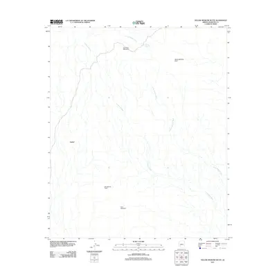
2011 Map of Yellow Medicine Butte
USGS Topo · Published 2011About this map
Sundad sits along the western edge of this desert landscape, characterized by the complex drainage networks of the Gila Bend Mountains. This 2011 survey illustrates the arid geography of Maricopa County, where water management is defined by features like Yellow Medicine Tank. The terrain is dominated by prominent volcanic and erosional landmarks, including the distinct profiles of Montezuma Head and Face Mountain to the south.
Find a feature on this map
8 named features on this map. Tap any name to fly to it.
Don’t see what you’re looking for? This feature index may not catch every label — zoom into the map to look around manually.
Map Details
Editions of this 2011 Yellow Medicine Butte Map
This is the sole edition of this map. No revisions or reprints were ever made.
Other maps of this area

1927 · Hyder
USGS Topo · 1:62,500

1930 · Hyder
USGS Topo · 1:62,500

1942 · Vicksburg
USGS Topo · 1:250,000

1951 · Dendora Valley
USGS Topo · 1:62,500

1954 · Phoenix
USGS Topo · 1:250,000

1957 · Phoenix
USGS Topo · 1:250,000

1958 · Phoenix
USGS Topo · 1:250,000

1960 · Phoenix
USGS Topo · 1:250,000

1962 · Cortez Peak
USGS Topo · 1:62,500

1962 · Eagletail Mts
USGS Topo · 1:62,500