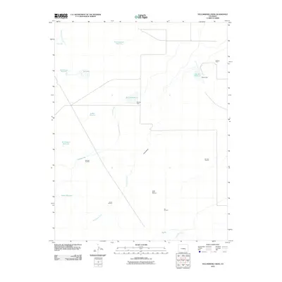
2010 Map of Yellowbank Creek
USGS Topo · Published 2010About this map
Yellowbank Creek and its seasonal tributaries define this arid landscape in Pueblo County, where water management is the primary marker of human activity. The terrain is dotted with small-scale impoundments like Schoolhouse Reservoir, Baldwin Reservoir, and the curiously named Bombing Range Reservoir, reflecting the historical importance of stock water and irrigation in this high plains environment. Named dams such as Brown Dam and Red Top Dam demonstrate a landscape engineered to capture every drop of runoff from the South Chicosa Creek and Peterson Creek drainages.
Find a feature on this map
23 named features on this map. Tap any name to fly to it.
Don’t see what you’re looking for? This feature index may not catch every label — zoom into the map to look around manually.
Map Details
Editions of this 2010 Yellowbank Creek Map
This is the sole edition of this map. No revisions or reprints were ever made.
Other maps of this area

1891 · Nepesta
USGS Topo · 1:125,000

1891 · Apishapa
USGS Topo · 1:125,000

1893 · Nepesta
USGS Topo · 1:125,000

1893 · Apishapa
USGS Topo · 1:125,000

1897 · Apishapa
USGS Topo · 1:125,000

1904 · Nepesta
USGS Topo · 1:125,000

1954 · Trinidad
USGS Topo · 1:250,000

1954 · Pueblo
USGS Topo · 1:250,000

1955 · Trinidad
USGS Topo · 1:250,000

1957 · Pueblo
USGS Topo · 1:250,000