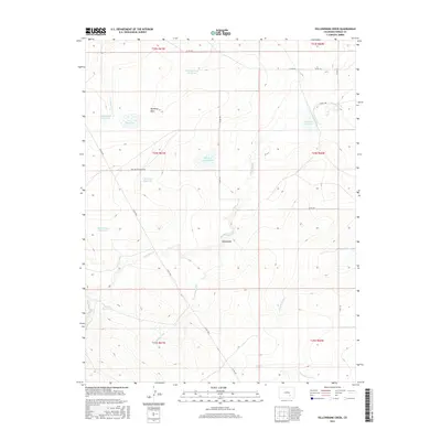
2016 Map of Yellowbank Creek
USGS Topo · Published 2016About this map
Yellowbank and its surrounding high plains landscape define this portion of Pueblo County, where a complex network of ephemeral water management dictates the character of the land. The presence of numerous named catchments, such as Schoolhouse Reservoir and Bombing Range Reservoir, reflects a long-standing reliance on stored water in this semi-arid region. These features, along with names like Bull Pasture Reservoir and Stauder Reservoir, often point toward early 20th-century ranching infrastructure and legacy family holdings.
Find a feature on this map
30 named features on this map. Tap any name to fly to it.
Don’t see what you’re looking for? This feature index may not catch every label — zoom into the map to look around manually.
Map Details
Editions of this 2016 Yellowbank Creek Map
This is the sole edition of this map. No revisions or reprints were ever made.
Other maps of this area

1891 · Nepesta
USGS Topo · 1:125,000

1891 · Apishapa
USGS Topo · 1:125,000

1893 · Nepesta
USGS Topo · 1:125,000

1893 · Apishapa
USGS Topo · 1:125,000

1897 · Apishapa
USGS Topo · 1:125,000

1904 · Nepesta
USGS Topo · 1:125,000

1954 · Trinidad
USGS Topo · 1:250,000

1954 · Pueblo
USGS Topo · 1:250,000

1955 · Trinidad
USGS Topo · 1:250,000

1957 · Pueblo
USGS Topo · 1:250,000