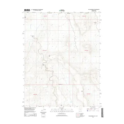
2014 Map of Yellowhorse Flat
USGS Topo · Published 2014About this map
Yellowhorse Flat occupies a broad high-desert landscape along the Arizona-Utah border, south of St. George. The terrain is defined by dramatic elevation changes between alluvial basins and prominent plateaus like West Mesa and East Mesa. Significant water drainage patterns are visible through the complex networks of Fort Pearce Wash and Hurricane Wash, which illustrate the erosion-carved nature of this arid region.
Find a feature on this map
19 named features on this map. Tap any name to fly to it.
Don’t see what you’re looking for? This feature index may not catch every label — zoom into the map to look around manually.
Map Details
Editions of this 2014 Yellowhorse Flat Map
This is the sole edition of this map. No revisions or reprints were ever made.
Other maps of this area

1885 · St. George
USGS Topo · 1:250,000

1886 · Mt. Trumbull
USGS Topo · 1:250,000

1891 · St. George
USGS Topo · 1:250,000

1892 · Mt. Trumbull
USGS Topo · 1:250,000

1953 · Cedar City
USGS Topo · 1:250,000

1953 · Grand Canyon
USGS Topo · 1:250,000

1954 · Hurricane Cliffs 2 NW
USGS Topo · 1:24,000

1954 · Hurricane Cliffs 2 NE
USGS Topo · 1:24,000

1954 · La Verkin 3 SE
USGS Topo · 1:24,000

1954 · La Verkin 3 SW
USGS Topo · 1:24,000