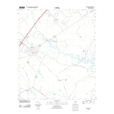
2011 Map of Yemassee
USGS Topo · Published 2011About this map
The Combahee River and Pocotaligo River define the Lowcountry landscape of this 2011 survey, where the historic rail and road hub of Yemassee serves as a central junction. The map detail highlights the settlement patterns of Hampton County, showing concentrated town blocks in Blountville and the nearby Yemassee Post Office while larger rural tracts such as Brewton and Rose Hill occupy the southern reaches. Local history is preserved in the location of the Salkehatchie Cemetery and the crossing at Saltketcher Bridge, bridging the gap between the small hamlets of Jonesville and Salkehatchie. Evidence of the area's rail-dependent commerce persists at Blake Siding, while the road network including McPhersonville Rd and Old Salkehatchie Hwy connects these disparate communities across the river plains.
Find a feature on this map
56 named features on this map. Tap any name to fly to it.
Don’t see what you’re looking for? This feature index may not catch every label — zoom into the map to look around manually.
Map Details
Editions of this 2011 Yemassee Map
This is the sole edition of this map. No revisions or reprints were ever made.
Other maps of this area

1918 · Walterboro
USGS Topo · 1:62,500

1918 · Green Pond
USGS Topo · 1:62,500

1918 · Yemassee
USGS Topo · 1:62,500

1919 · Cummings
USGS Topo · 1:62,500

1943 · Yemassee
USGS Topo · 1:62,500

1943 · Green Pond
USGS Topo · 1:62,500

1943 · Cummings
USGS Topo · 1:62,500

1943 · Walterboro
USGS Topo · 1:62,500

1947 · Savannah
USGS Topo · 1:250,000

1948 · Savannah
USGS Topo · 1:250,000